""It's not really one coherent system," Salas said. "It's a one kind of stronger system, followed by a couple smaller storms that'll kind of help contribute additional snowfall.""
""It'll be cold enough to keep that snow pack sturdy," he said."
""It's hard to kind of pinpoint a break after Saturday morning, [we] just kind of get those consecutive rounds," he said. "The main thing is kind of getting traveling done by Saturday.""
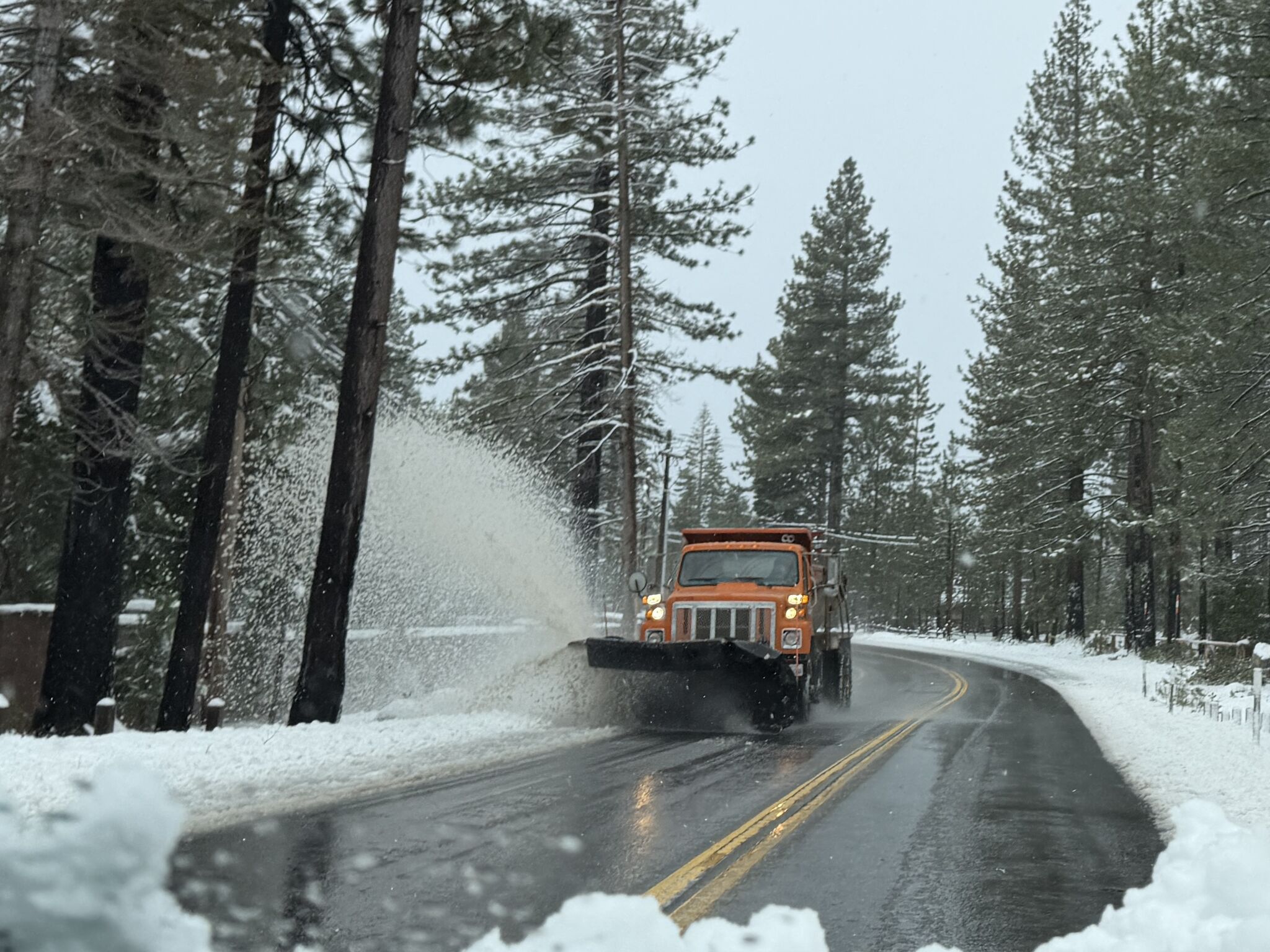
Heavy snow is expected to begin Friday evening and continue through the weekend across the Lake Tahoe region, with a stronger system followed by smaller storms adding snowfall. Forecasts call for 1–2 feet at 7,000 feet, one foot at 6,000 feet, and 4–8 inches at lake level. The new snow will add to up to 60 inches reported during December's Christmas storm. Freezing temperatures are expected after the storms to keep the snowpack sturdy. The Central Sierras snowpack remains at about 70% of average, with most snow falling after Dec. 19. Travelers are advised to complete travel by Saturday before consecutive storm rounds arrive.
Read at SFGATE
Unable to calculate read time
Collection
[
|
...
]