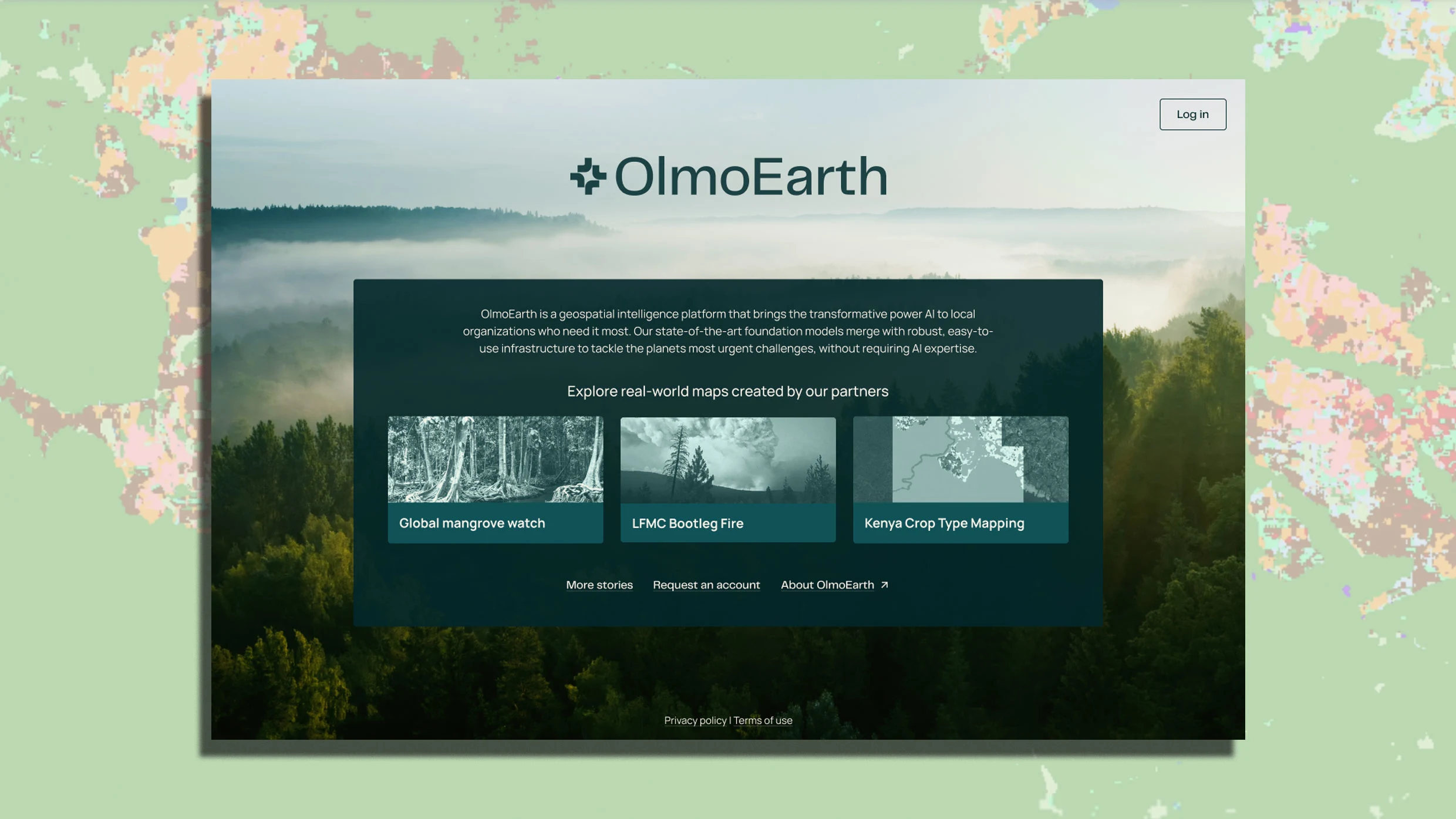
"The Allen Institute for Artificial Intelligence (Ai2) on Tuesday unveiled the OlmoEarth Platform, backed by a family of AI foundation models trained on roughly 10 terabytes of data derived from millions of observations of the planet, including satellite images, radar readings, and existing maps of features like forest cover. The OlmoEarth models can then be fine-tuned for specific purposes, like detecting changes in vegetation, with the help of a companion software tool called OlmoEarth Studio."
"Ai2 has already been working with a variety of organizations harnessing the AI, including groups looking to better assess and respond to wildfire risk. The International Food Policy Research Institute is using the technology to more frequently update maps of crops grown in one region of Kenya. Amazon Conservation is using the AI system to quickly spot deforestation. And a project called Global Mangrove Watch is harnessing the technology to more comprehensively track mangrove populations and quickly detect threats to those critical coastline trees."
OlmoEarth is an open AI platform from the Allen Institute for Artificial Intelligence that is backed by foundation models trained on about 10 terabytes of data from millions of planet observations, including satellite imagery, radar readings, and existing feature maps. The models are fine-tunable for tasks such as vegetation-change detection and pair with OlmoEarth Studio for customization. Ai2 partners with organizations to apply the models for wildfire-risk assessment, crop-mapping updates in Kenya, rapid deforestation spotting, and mangrove monitoring. Model performance details appear in a scientific paper. The project aims to lower barriers to deploying earth-observation AI for governments and nonprofits.
Read at Fast Company
Unable to calculate read time
Collection
[
|
...
]