California
fromsfist.com
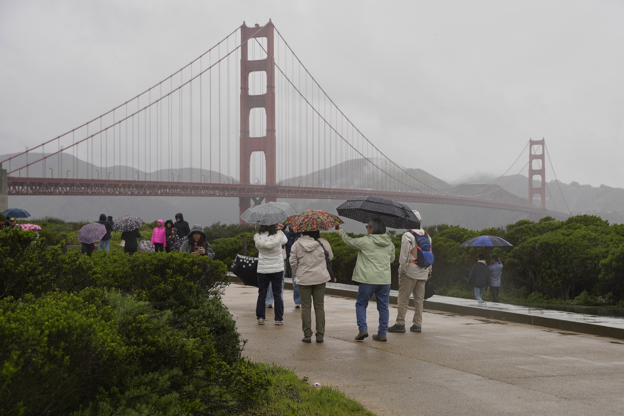
5 hours agoIncoming Rain Will Bring Possible 1.5 Inches to SF Between Thursday and Sunday
Rain is expected across Northern California, with significant accumulations and potential thunderstorms from Thursday to Sunday.
When scientists applied a new model of human survivability that takes into account the body's ability to function and stay cool depending on age, they found all six events had seen non-survivable periods for older people who could not find shade.
Kennedy predicts hot and dry conditions from the west will shift eastward later this week, allowing for a noticeable warm-up and shift towards spring-like conditions.
"This is going to help fill that gap in minutes to hours lead time that's vital to know where the heaviest rain is going to hit," Ralph said. "And when and what communities are going to be affected so people in the preparedness community and water resource management community can take action to help protect people's lives and property."
The storm from Sunday into Monday has the potential to become a bomb cyclone, which occurs when central pressure drops at least 0.71 inches of mercury (24 millibars) in 24 hours or less. That rapid strengthening would generate an expansive and intense wind field.
When I spoke with emergency management officials last year, they all mentioned the same frustrating scenario. People ignore storm warnings until the precipitation starts falling, then suddenly everyone rushes out at once. The roads become congested with anxious drivers, accidents spike, and stores run out of essentials just when people need them most. But here's what really gets meteorologists worked up about this pattern. Modern weather forecasting has become incredibly accurate, especially for major winter storms.
Britain is about to be hit with showers of 'blood rain', according to experts from the Copernicus Atmosphere Monitoring Service (CAMS). This is thanks to a plume of red Saharan dust, which is currently sweeping over Europe towards the UK. When this dust mixes with Britain's persistent rain, the precipitation will take on a distinctive reddish colour - creating a phenomenon known as 'blood rain'.
A focused Sunday-through-Tuesday storm brings the only meaningful snowfall window, with the best accumulation in Canterbury and lighter spillover elsewhere. Guidance supports a regional high-elevation refresh around 20 cm-30 cm at the top end, while most other fields stay in a modest 1 cm-6 cm range. Expect mostly dense to moderate snow quality during the core burst.
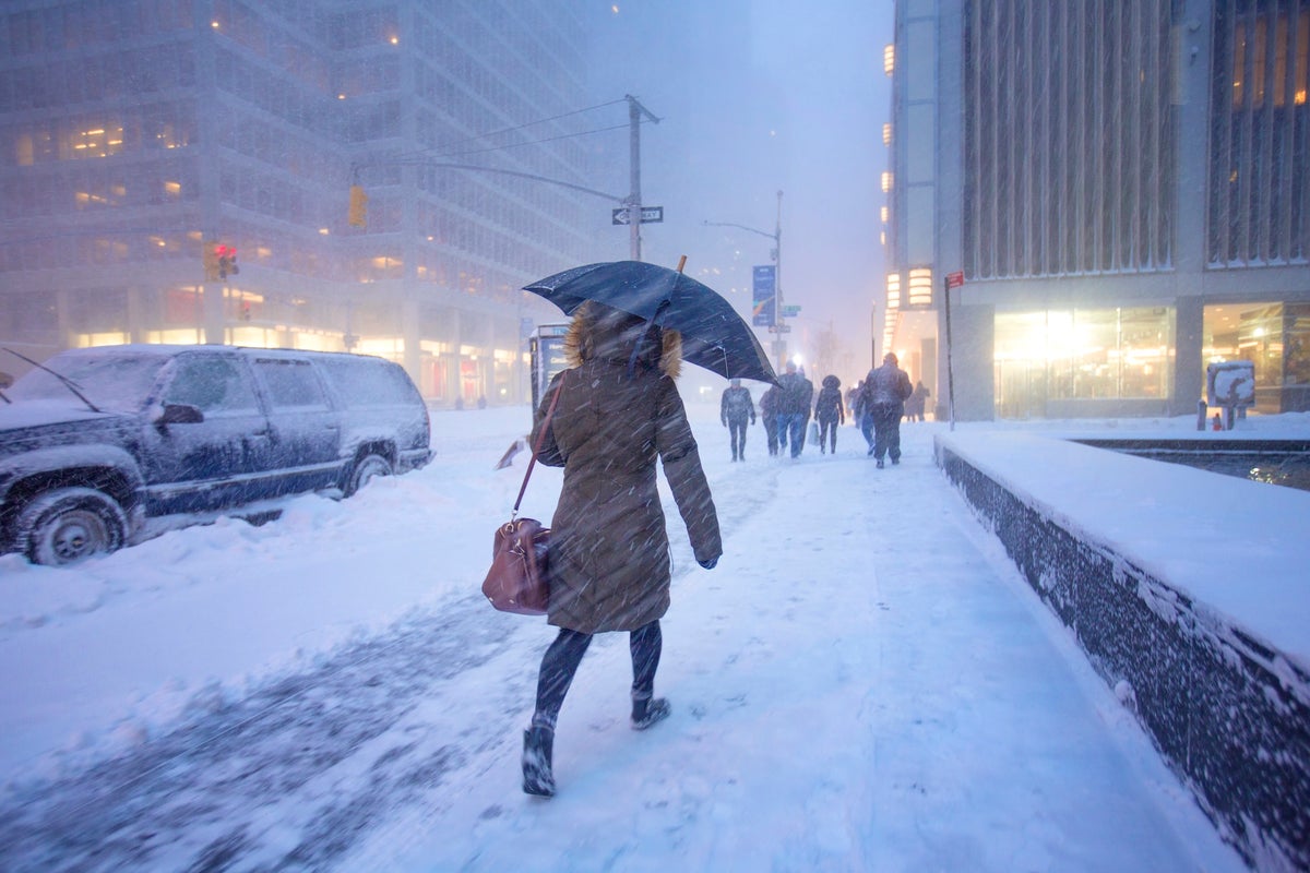
The National Weather Service forecasts the first snow to begin falling around 9 a.m. Sunday and continue through Monday, with scattered showers possibly lasting into Tuesday. The weather service expects a final total of 14 to 20 inches of snow across the state, with some coastal towns possibly seeing more than 20 inches: The high end of projections call for a potential of 24 inches in Gloucester and other North Shore communities, with Boston possibly seeing 21 inches:
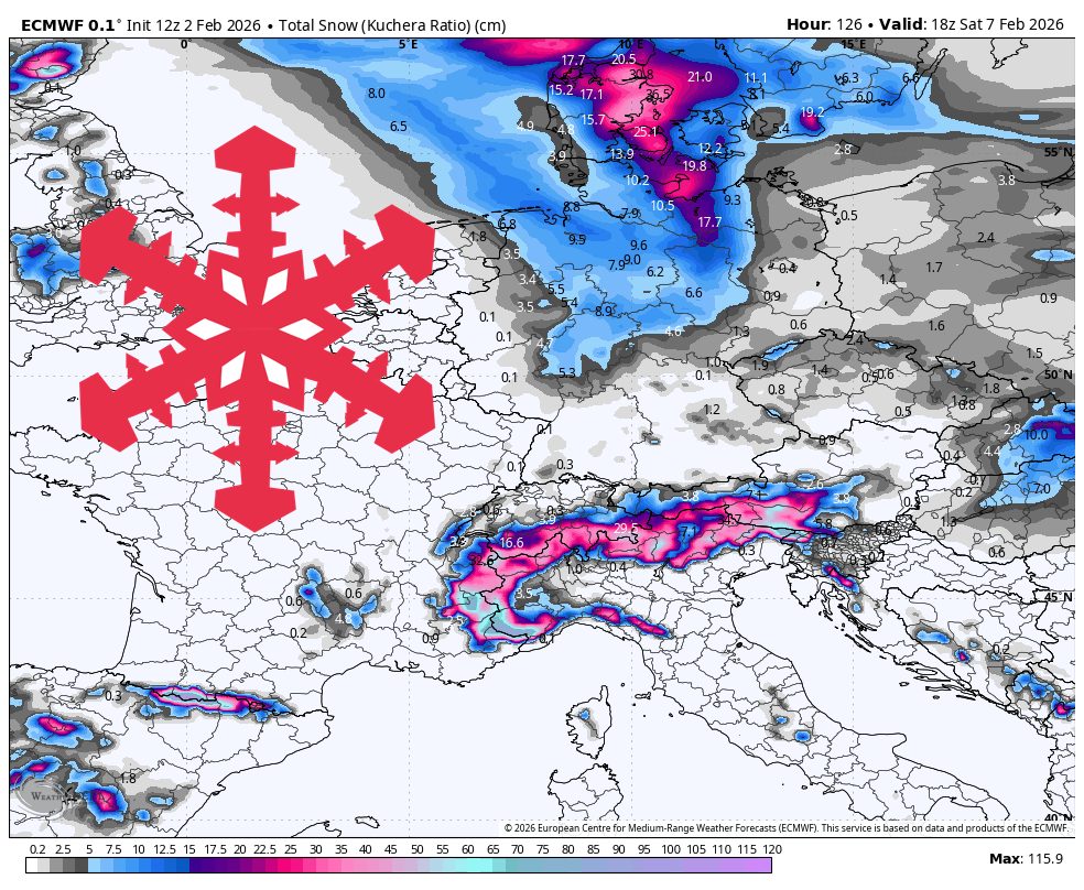
WeatherA multi-day storm cycle targets the Alps this week, then reloads with colder air next weekend while snow chances continue into midweek. The western Alps look like the main winners overall, with frequent snowfall pulses and the deepest totals at higher elevations. Snow levels run high enough at times midweek to keep lower villages on the edge of wet snow or rain, then they drop sharply heading into the weekend.
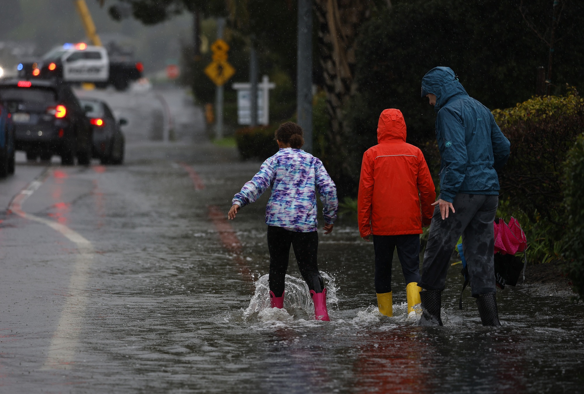
The pattern change began Monday when the barometric pressure surrounding the region started to fall gradually. That increase in low pressure is coming from the southwest and the air is flowing north, opposite of many winter low-pressure systems that dip in from the Pacific Northwest. As a result, light but steady rain is expected to start in Monterey County and the Central Coast late Tuesday morning. The rain is expected to reach the region closer to San Francisco sometime Tuesday night, Murdock said.
Warwick, N., Griffiths, P., Keeble, J., Archibald, A., & Pyle, J. Atmospheric implications of increased Hydrogen use. GOV.UK https://www.gov.uk/government/publications/atmospheric-implications-of-increased-hydrogen-use (2022).