#tropical-storm-priscilla
#tropical-storm-priscilla
[ follow ]
#climate-change #southern-california #severe-weather #weather #extreme-weather #el-nino #heat-wave #flooding


fromABC30 Fresno
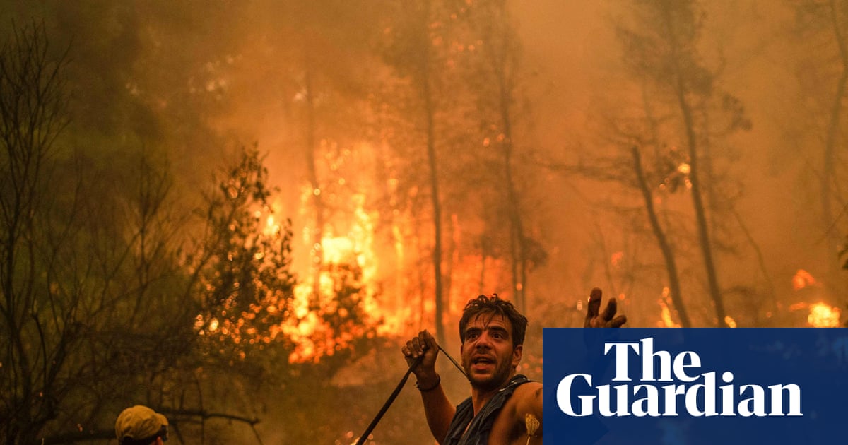
6 days ago3 tornadoes officially touched down in Central California Tuesday, NWS confirms
The first tornado touched down near Biola as an EF-0 at 2:10 p.m and lasted two minutes. The tornado's estimated wind peak was 70 mph, and its path length was 50 yards, while its width was 5 yards.
California


fromwww.theguardian.com
2 weeks agoWeather tracker: Cyclone Maila batters Solomon Islands with 115mph winds
Severe Tropical Cyclone Maila has been recorded as the strongest cyclone in the Solomon Sea, with peak sustained winds of 115mph and gusts reaching 160mph, causing extensive damage across the Solomon Islands.
World news
fromsfist.com
2 weeks agoSunday Links: California Hit With Thunder, 30,000 Lightning Strikes Over the Weekend
After 21 hours of talks, US and Iran did not reach a deal to end the war, as Vice President JD Vance said talks stalled after the US made a final offer pushing for stronger guarantees that Iran won't develop nuclear weapons.
US news


fromThe Washington Post
1 month agoIt's so hot in the West that temperatures may even break April records soon
Not only will temperatures break March monthly records, but this heatwave will even break April records. Over the next week, around 800 high temperature records are forecast to be neared, tied or broken at 165 locations in Western and Central states - some by more than 10 degrees - with unusual warmth set to linger into late March.
US news
fromwww.theguardian.com
1 month agoHawaii faces flash flooding, blizzard conditions and landslides with more rain to come
Flash flooding has been a major problem in recent days in places such as Maui, Molokai and the Big Island, where rain had been falling between 1 and 2in (2.5 and 5cm) an hour overnight, according to the Hawaii emergency management agency.
Miami food
fromMail Online
1 month agoHazardous weather alert for 200 million as megastorm barrels across US
The storm from Sunday into Monday has the potential to become a bomb cyclone, which occurs when central pressure drops at least 0.71 inches of mercury (24 millibars) in 24 hours or less. That rapid strengthening would generate an expansive and intense wind field.
Chicago
fromLos Angeles Times
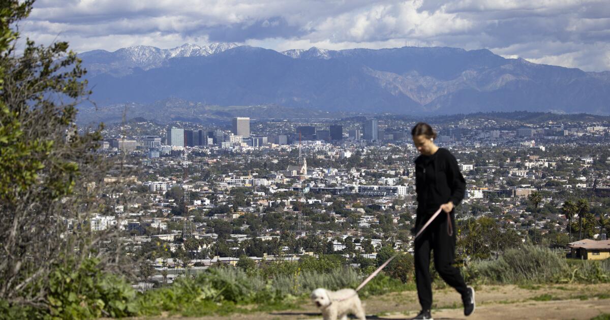
1 month agoSouthern California's heat wave hasn't peaked yet and it's already breaking records
During this heat wave, "not only are daily temperature records likely to be broken across the region, but even the high temperature records for any day in the entire month of March," the National Weather Service said in a Tuesday morning forecast.
Los Angeles
fromwww.npr.org
1 month agoSnow and wind batter parts of US, with threat of thunderstorms and tornadoes
Successive punches of snow, wind and severe weather are "going to impact the eastern half of the United States," AccuWeather senior meteorologist Tyler Roys said in an interview. Beyond the threat to lives and property, "whether it's wind gusts from a squall line, blizzard or snow, or just wind because of the storm, you're looking at several major airports being impacted."
US news
fromLos Angeles Times
1 month ago'Dangerous' heat wave warning issued for Southern California next week
All signs continue to point to an exceptional, long-duration, and record-breaking to (in some cases) record-shattering March heatwave initially centered across U.S. Southwest but expanding to much broader region next week. This is effectively a full-on summer heatwave in March.
Los Angeles
fromLos Angeles Times
2 months agoL.A. storm timeline: Bursts of rain, blasts of wind expected in Presidents Day washout
"There's 30% to 40% chance of thunderstorms on Monday. We could see damaging wind gusts, intense rainfall, water spouts or brief, weak tornadoes." Though it's expected to start drizzling overnight, Angelenos likely won't see heavy rainfall until late Monday afternoon, with showers predicted through the evening. The coasts could see 1 to 2½ inches of rain, with up to 5 inches predicted for the foothills and mountains.
Los Angeles
fromMail Online
2 months agoNationwide travel chaos as hurricane-force winds rip through US
Extreme winds ripping across the US could bring hurricane levels of destruction and impact thousands of air travelers flying across the country. The National Weather Service (NWS) has issued high wind warnings throughout more than 10 states in the Rocky Mountains, Great Plains, and Southwest throughout Tuesday. Wind gusts are expected to reach hurricane strength in parts of Colorado, Montana, Texas, New Mexico, and Wyoming, exceeding 75mph.
US news
fromLos Angeles Times
2 months agoCalifornia storm closes roads, triggers flash flood warnings. Here's how long it will last
Californians looking to resume their weekly commute Tuesday awoke to see several major roads closed after heavy rains drenched much the state Monday - with the expected precipitation far from over. Among the closures was a section of Highway 1 through Big Sur, which state officials just weeks ago celebrated reopening for the first time in three years. The road closed Monday after rockslides left "debris in the roadway at multiple locations," according to the California Department of Transportation.
California
Environment
fromLos Angeles Times
1 month agoCalifornia's snowpack was already meager. Now comes an extraordinary heat wave
California's Sierra Nevada snowpack is at 48% of average due to an extremely warm winter, with rapid melting accelerated by an incoming heat wave threatening the state's water supply.
Environment
fromFast Company
1 month agoWeather whiplash to sweep U.S. with simultaneous blizzard, polar vortex, and heat dome
Extreme weather is affecting nearly all U.S. regions simultaneously, including record heat in the Southwest, snow in the Great Lakes, Arctic cold in the Midwest and East, and heavy rain in Hawaii.
Environment
fromwww.theguardian.com
1 month agoBlistering early-season heatwave threatens California and other western states
An early-season heatwave will bring temperatures 20-30°F above normal across western US states, threatening daily and all-time March records while intensifying drought concerns amid record low snowpack.
fromLos Angeles Times
2 months agoAs teeth chatter across the U.S., Southern California is a hot spot: What to expect this week
While cold-stunned iguanas fall from trees in Florida and videos circulate of frozen "exploding" trees in the Northeast, Southern California is working up a sweat. A midwinter heat wave has descended on much of the state and is expected to spike temperatures as much as 20 degrees above normal in the coming week. The summer-like heat is thanks to a ridge of high pressure lingering high in the atmosphere that extends through the San Francisco Bay Area and into the Pacific Northwest.
Environment
fromABC7 San Francisco
7 years agoThe ABC7 Exclusive Storm Impact Scale explained
LIVE RADAR: Track storms as they move through the Bay Area with Live Doppler 7 Take a look at the chart above -- we will give each storm a number with 1 being the lightest type of storm and 5 being the most severe. This way you'll know what to expect. Number 1 means a light storm with 1/2 an inch of rain or less and likely lasting a few hours or less. Number 2 is a moderate storm with 1/2 an inch to one inch of rain forecast and could include scattered power outages.
Environment
[ Load more ]