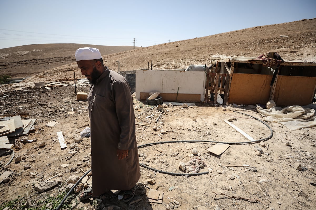
"Under a merciless sun, Yousef Jahalin feeds his goats on the barren hills east of Jerusalem. His home doesn't look much like the Promised Land. Rather, it's dozens of shacks without running water, scattered on both sides of the road that leads from the city to the Dead Sea and a stone's throw from the Israeli settlers who surround them."
"Beside him, he explains, there's Hebrew graffiti from two weeks ago. it says: nekama, meaning revenge. The area is known in Arabic as Khan al-Ahmar and it is located in the West Bank, the territory that Israel has militarily occupied for more than half a century and which, on paper, is part of the Palestinian state that a dozen more countries have recognized in recent days."
"On Israeli strategic maps, however, it falls within the 12 square kilometers encompassed by the so-called E1, a controversial Jewish settlement project dating back to the 1990s, but which no government (moderate or nationalist) has ever dared to approve because foreign ministries, particularly European ones, clearly inferred its significance: it would divide the West Bank and isolate it from East Jerusalem, the natural capital of a possible Palestinian state."
Khan al-Ahmar sits on barren hills east of Jerusalem, where Palestinian shepherd Yousef Jahalin tends goats near dozen of shacks without running water and Hebrew graffiti reading 'nekama' (revenge). The village lies in the West Bank, a territory under Israeli military occupation for over half a century and nominally part of a Palestinian state recognized by some countries. Israeli strategic maps place Khan al-Ahmar within the 12-square-kilometre E1 area, a settlement project that would sever Palestinian territorial continuity and isolate East Jerusalem. Benjamin Netanyahu's coalition government approved E1, signaling intent to expand Jewish settlements and undermine prospects for a contiguous Palestinian state.
Read at english.elpais.com
Unable to calculate read time
Collection
[
|
...
]