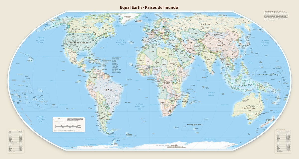
"For us, correcting the map also means correcting the global narrative about Africa, says Fara Ndiaye, co-founder and deputy executive director of Speak Up Africa, one of the organizations behind Correct the Map. The African Union (AU) has just endorsed this initiative, which seeks to force governments, international organizations, and educational organizations to stop using the Mercator world map in favor of one that more accurately shows the size of Africa, which is minimized in the classic projection."
"It might seem to be just a map, but in reality, it is not, AU Commission deputy chairperson Selma Malika Haddadi told Reuters, saying the Mercator fostered the false impression that Africa was marginal, despite being the world's second-largest continent by land area. Ndiaye believes this endorsement is a historic achievement that sends a powerful political message. It's the first time a pan-African institution has taken a clear position on the visual representation of Africa, he explains in a video call with EL PAIS."
The Mercator projection minimizes Africa's true land area and fosters a false impression of marginality despite Africa being the world's second-largest continent. The African Union has endorsed Correct the Map, urging governments, international bodies, and educational institutions to abandon the Mercator in favor of projections that more accurately show Africa's size. The endorsement transforms a cultural and civic demand into continental policy and sends a political message about representation. Advocates frame the debate as one of dignity, education, and diplomacy, and see the campaign as part of a wider postcolonial reaffirmation of African identity and visibility.
Read at english.elpais.com
Unable to calculate read time
Collection
[
|
...
]