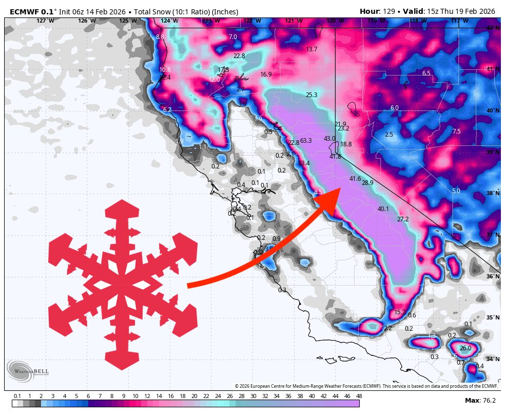
"A major Sierra storm arrives late Sunday and keeps snow falling through Thursday, starting dense and windy and turning colder and fluffier midweek, bringing up to 100″ at Dodge Ridge . Expect a steady ramp Sunday night, a long stretch of heavy snowfall Monday through Wednesday, and a gradual taper Thursday, with the best-quality snow showing up once snow levels crash and temperatures settle into the teens."
"Saturday stays dry at Dodge Ridge, then snowfall starts Sunday evening and intensifies overnight into Monday. The ECMWF, the GFS, the ICON, and the GDPS cluster around that Sunday-evening arrival, and the AIFS follows the same idea, so start-time confidence is solid. Snow levels begin on the high side for the Sierra, generally around 4,500 to 6,000 feet. With the base at 6,600 feet, the resort stays mostly snow, with a wetter and heavier character near the lower mountain when snow levels surge."
"Monday night through Wednesday looks like the core of the storm, and the models converge on heavy snowfall plus a meaningful drop in snow levels at Dodge Ridge. Snowfall rates peak Tuesday night into early Wednesday, and the wind signal peaks around the same time, with sustained southwest winds often in the 25-40 mph range and higher gusts that can reach the 50-70 mph range."
An organized Sierra storm arrives late Sunday with a steady ramp Sunday night, heavy snowfall Monday through Wednesday, and a gradual taper Thursday. Initial snow levels near 4,500–6,000 feet will still produce mostly snow at Dodge Ridge’s 6,600-foot base, with wet, dense SLRs around 9–11:1 early on. Winds increase with the storm, with ridge gusts 45–65 mph Monday and sustained southwest flow 25–40 mph and gusts to 50–70 mph Tuesday night–Wednesday. Snow levels fall into the 2,000–4,000-foot range midweek, producing colder, fluffier snow and several-foot totals, up to about 100 inches; confidence is high for the main storm and midweek cold, but lower for any late-week follow-up waves.
Read at SnowBrains
Unable to calculate read time
Collection
[
|
...
]