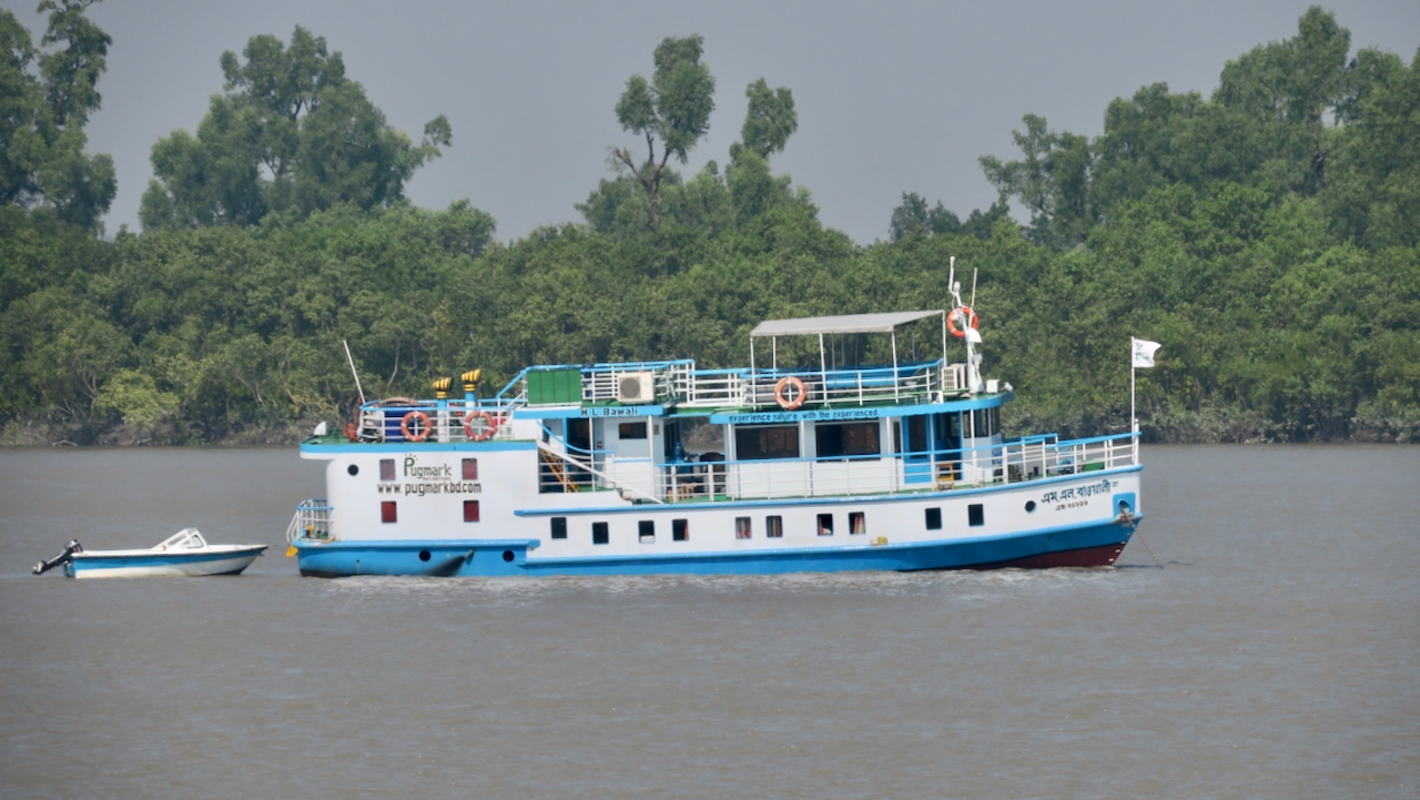
I travel the Ganges-Brahmaputra Delta coast repairing GNSS instruments that measure subsidence to better than 1 mm/year. Instruments are co-located with RSET-MH to measure elevation change and sedimentation. My team and the RSET team travel together by boat on the M/V Bawali. The first stop, Jorshing, is reached by overnight sail. The site is at an elementary school with the receiver box off an office and an RSET in a nearby field. Zohur upgraded and reprogrammed the modem despite a weak cellular network. Sanju discovered the antenna cable lacked power; I found and tightened a loose pass-through connection and restored satellite reception. The team gave away the last soccer balls, and the RSET team proceeded to another site disturbed by recent embankment construction.
"I am continuing to travel around the coastal zone of the Ganges-Brahmaputra Delta in Bangladesh repairing GNSS (GPS) instruments. The future sustainability of the delta depends on the balance of sea level rise, the sinking, or subsidence, of the land, and the deposition of sediments that can help maintain the land. My GNSS instruments can measure the subsidence of the delta to better than 1 mm/year."
"Our site is at an elementary school with the receiver box off an office. One of the RSETs is in a field behind the school. With growing experience, Zohur was able to upgrade and reprogram the modem, despite the weak cellular network. However, after completing the work, the receiver was not seeing any satellites, so he started checking everything. When Sanju went up on the roof, he was followed by a mob of kids excited to get to a place that is normally locked."
Read at State of the Planet
Unable to calculate read time
Collection
[
|
...
]