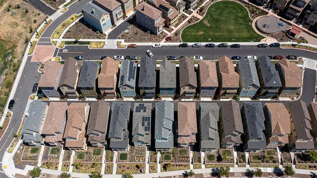
"When Roseanna Castillo received a letter from her insurance company about her roof issues based on aerial images from Google Earth, she was taken aback by the unsolicited inspection and demand for immediate repairs. This incident sheds light on the increasing use of aerial imagery and AI by insurers to evaluate properties, posing questions about homeowner rights and the accuracy of these assessments."
"Insurers in various states are using aerial photos to assess properties, driven by cost savings and advanced data availability. Aerial imagery and AI are being employed to streamline property inspections, particularly for roof damage, which is a significant driver of homeowner insurance claims. Lack of standardized regulations regarding the use of aerial imagery and AI in insurance underwriting raises concerns about privacy and data protection for homeowners."
Roseanna Castillo received an unsolicited letter alleging roof issues based on aerial imagery from Google Earth, prompting concern over automated inspections. Insurers are adopting aerial photos and AI to cut costs and accelerate property assessments, with roof damage as a common focal point for claims. The lack of standardized regulations governing aerial imagery and AI use in underwriting raises privacy and data-protection concerns for homeowners. Homeowners can document actual property conditions, request evidence, submit counter-evidence, file complaints with state insurance departments, and involve local agents to dispute erroneous assessments. Transparency and oversight remain essential for fair evaluations.
Read at SFGATE
Unable to calculate read time
Collection
[
|
...
]