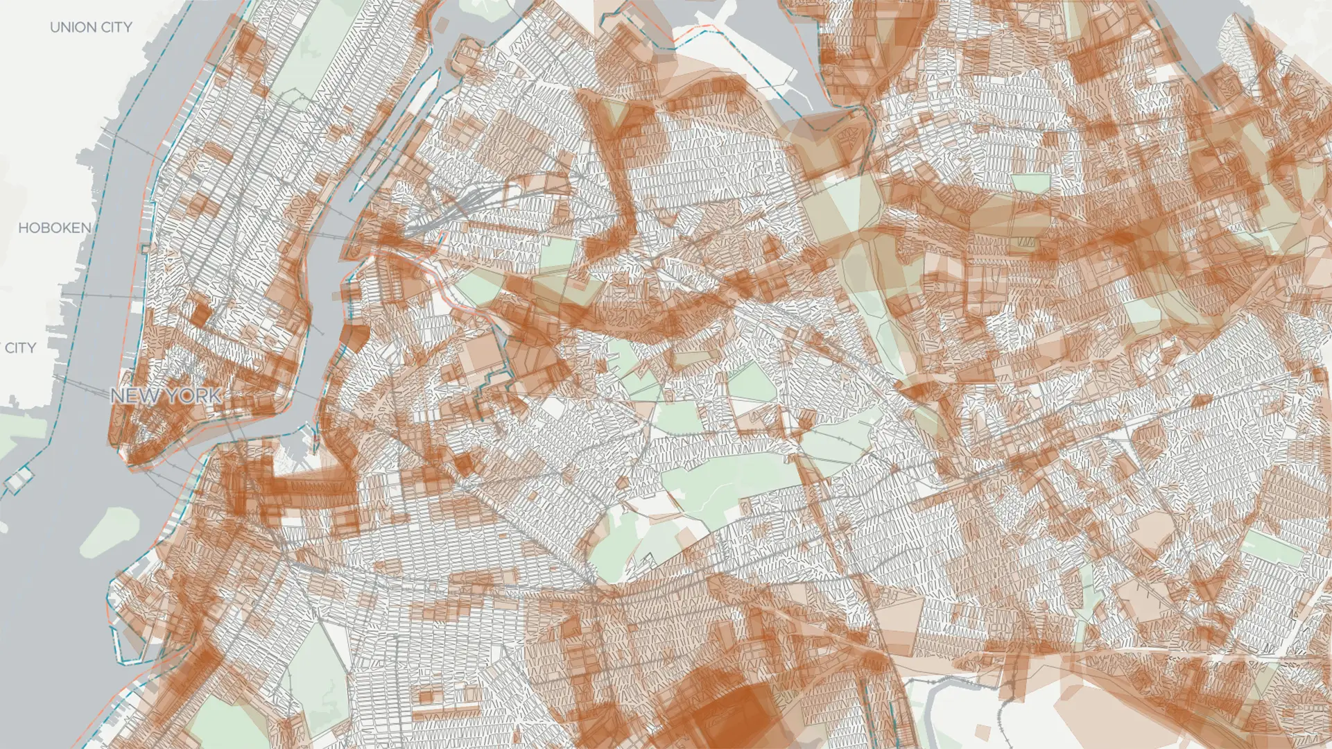
"That's changing, though. On Tuesday night, New Yorkers appeared poised to approve Proposal 5, a measure that will push the city to create a unified official map representing its five boroughs for the first time. The effort should help officials finally catch up with unification efforts, which began more than a century ago in 1898, when areas throughout modern-day Queens, Brooklyn, Staten Island, Manhattan, and the Bronx were combined to form one city government."
"While the city has streamlined most operations, New York's maps were never synthesized into one document, scattering authority over these official charts across the city and resulting in thousands of paper topographical documents. Today, the diffuse nature of these official maps slows down housing construction, adding another hurdle to solving the city's extreme housing crisis, advocates argue. The passage of the proposition means that these paper maps will finally be distilled into a single visualization and eventually digitized."
New York City lacks a single unified official legal map covering all five boroughs, leaving authority scattered across thousands of paper topographical documents. Passage of Proposal 5 will require creation of a unified official map and eventual digitization of those charts. A unified map will speed city processes that require verification with an official map and reduce delays in housing construction. The map will allow more accurate representation of the city's waterfront as climate change alters the coastline. The unification effort traces back to municipal consolidation in 1898 but the official maps were never synthesized into one document.
Read at Fast Company
Unable to calculate read time
Collection
[
|
...
]