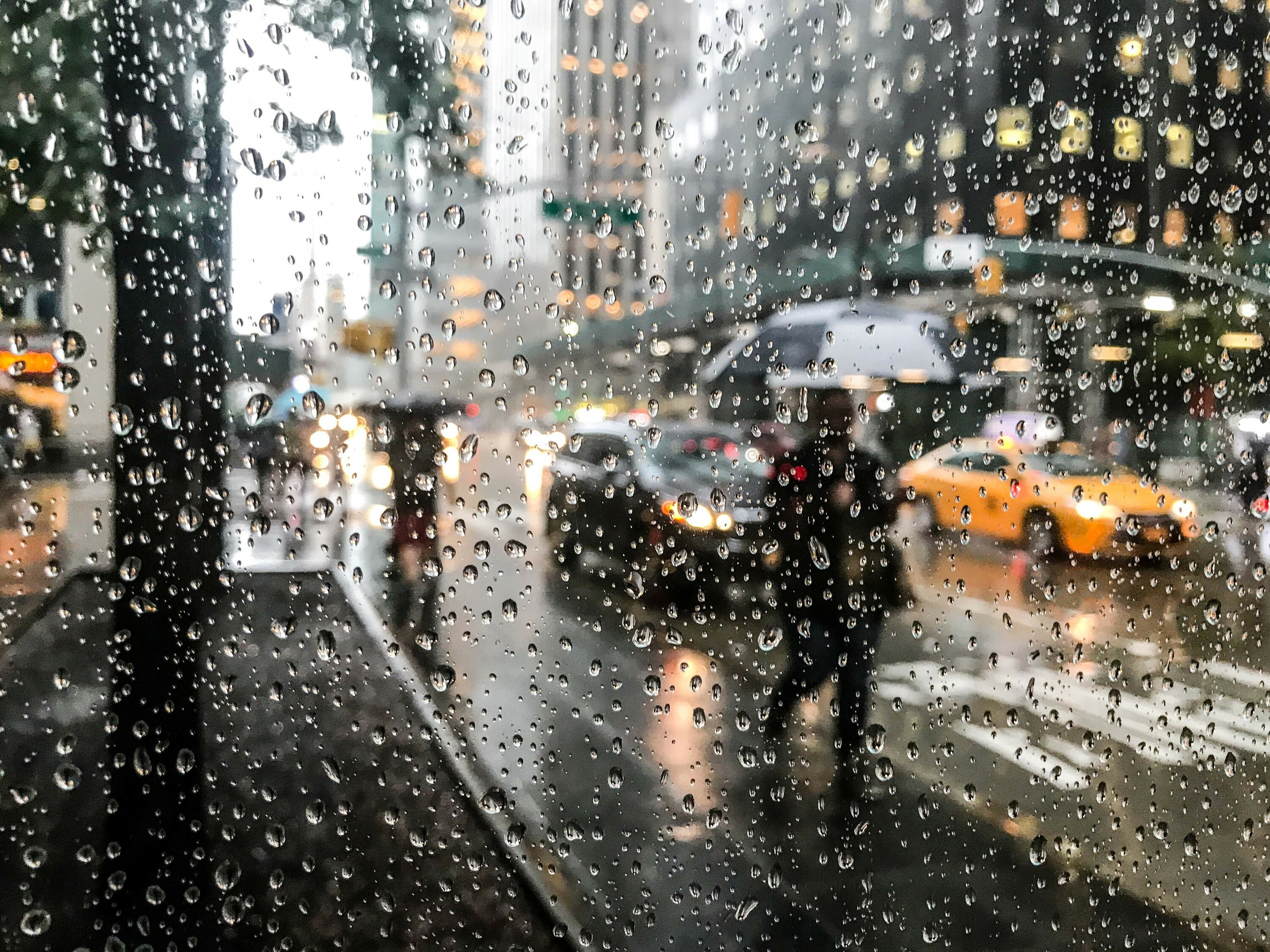
"New York City is bracing for rain, thunderstorms and high winds on Monday. The roughest stretch is expected between 6pm Monday and 2am Tuesday, when heavier downpours, organized thunderstorms and powerful wind gusts could make the evening commute and overnight hours particularly messy. A Wind Advisory is also in effect from 2pm Monday through 4am Tuesday, with sustained winds between 15 and 22 mph and gusts that could reach up to 55 mph."
"Once the front passes, the cold sticks around. Tuesday brings a sharp temperature drop, with highs barely reaching the low 40s and a brisk wind making it feel even colder. Wednesday should calm down a bit, with lighter winds and a mix of sun and clouds, but the chill will still be noticeable with highs near 40."
New York City faces severe weather Monday through early Tuesday as a strong cold front moves through the region. Rain beginning Sunday evening will intensify Monday evening with thunderstorms and powerful winds between 6pm Monday and 2am Tuesday. Wind gusts could reach 55 mph, prompting a Wind Advisory and activation of the Flash Flood Emergency Plan. After the system passes, temperatures drop sharply to the low 40s Tuesday, remaining cold through the week. Wednesday brings calmer conditions with highs near 40 degrees. The remainder of the week shows gradual warming toward the mid-50s by Saturday before cooling again Sunday.
Read at Time Out New York
Unable to calculate read time
Collection
[
|
...
]