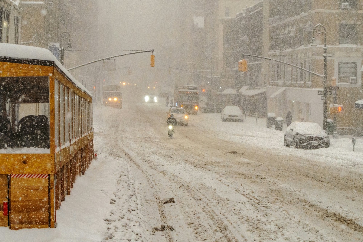
"New York City woke up to a gray, soggy start on Sunday, February 22, 2026, with fog and temps hovering near 35°F, and it is only the opening act. A powerful nor'easter is spinning up off the Atlantic, and a Blizzard Warning is now in effect across all five boroughs for Sunday night into Monday, February 23. Officials are already warning New Yorkers to brace for heavy snow, fierce winds and coastal flooding that could snarl travel and knock out power."
"Precipitation is expected to start as a rain and snow mix Sunday morning before flipping to steady snow by Sunday evening. The strongest snow bands are forecast to set up late Sunday night into Monday morning. The National Weather Service expects the core of the storm to hit roughly between 10 p.m. Sunday and 10 a.m. Monday, with snowfall rates of 1-2 inches per hour and citywide totals commonly in the mid-teens. Coastal neighborhoods could see even higher amounts, with whiteout conditions likely,"
New York City opened Sunday gray and foggy with temperatures near 35°F. A nor'easter off the Atlantic triggered a Blizzard Warning for all five boroughs for Sunday night into Monday. Precipitation will begin as a rain-snow mix Sunday morning, change to steady snow Sunday evening, and peak late Sunday night into Monday morning with rates of 1-2 inches per hour and city totals commonly in the mid-teens; coastal areas could see higher amounts and whiteouts. Northeast gusts of 35-45 mph inland and 55-65 mph on the coast will cause blowing, drifting, and power outage risk. Onshore flow and high tides could inundate waterfront areas 1-2 feet. Officials issued a hazardous travel advisory, opened warming centers, and urged residents to avoid nonessential travel.
Read at Hoodline
Unable to calculate read time
Collection
[
|
...
]