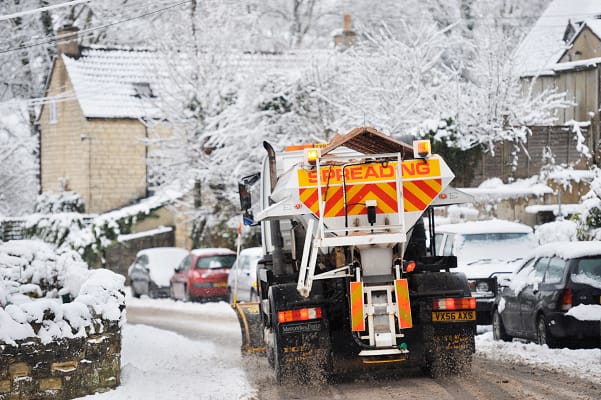
"Cold Arctic air from the north is firmly in charge of the UK's weather, bringing the first notable cold snap of this autumn and giving an early taste of winter weather. As a result, winter hazards are likely through the next few days, with snow and ice a particular hazard, and the coldest conditions likely on Wednesday and Thursday. Wintry showers will affect areas exposed to the brisk northerly wind, in particular Northern Ireland, southwest Wales, southwest England, northeast England and across the northern half of Scotland."
"Whilst not all places will see lying snow, where showers are most frequent accumulations of 2-5 cm will be possible. On higher ground in Scotland, 15-20 cm could accumulate, and potentially as much as 15-25 cm over the North York Moors and Yorkshire Wolds."
"Temperatures are well below average for the time of year and could get as low as -11°C in rural parts of Scotland on Thursday night, with daytime temperatures generally in low single figures for many. With clear skies, overnight ice could create some particularly tricky travel conditions."
An amber warning covers snow and ice in the North York Moors and parts of the Yorkshire Wolds. Multiple warnings are in place across Northern Ireland, parts of Wales, southwest England and much of Scotland, with the possibility of more later in the week. Cold Arctic air is driving a notable early cold snap, bringing wintry showers, snow accumulations and icy overnight conditions. Where showers are most frequent, accumulations of 2–5 cm are possible, with 15–20 cm on higher Scottish ground and 15–25 cm possible over the North York Moors and Yorkshire Wolds. Temperatures could fall to around -11°C in rural Scotland, with daytime values in low single figures, increasing the risk of hazardous travel due to ice.
Read at London Business News | Londonlovesbusiness.com
Unable to calculate read time
Collection
[
|
...
]