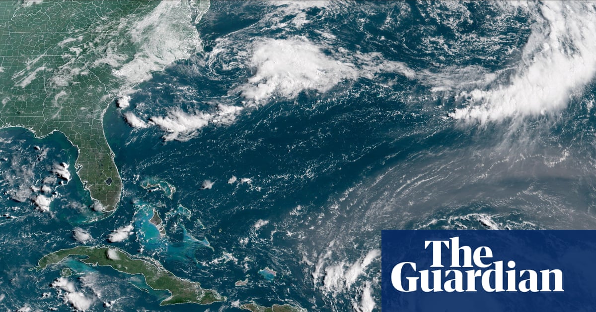
"Hurricane Erin has intensified to a category 4 storm, moving over the Atlantic, with maximum wind speeds of 145 mph while brushing past Caribbean islands."
"The National Hurricane Center warns of potential flooding and landslides on nearby islands due to strong winds and heavy rain brought by Hurricane Erin."
"Hurricane Erin's winds have more than doubled in speed within 24 hours, escalating from a tropical storm to a category 4 hurricane."
"Tropical storm watches are issued for northern Leeward Islands, anticipating rainy conditions for the next 48 hours as Erin approaches."
Hurricane Erin has increased in intensity, becoming a category 4 storm with maximum wind speeds of 145 mph as it nears the northeastern Caribbean. Although not expected to hit the US mainland, forecasters warn of potential flooding and landslides on nearby islands. The storm is likely to strengthen further, with predictions it may become a category 5 hurricane. Rainfall of 2-4 inches is anticipated in affected areas, with higher amounts possible. Swells generated by the hurricane will affect various regions, contributing to hazardous ocean conditions.
Read at www.theguardian.com
Unable to calculate read time
Collection
[
|
...
]