"As always, this post is very delayed - apologies. I was encouraged to write this by a friend who I see at PyData Southampton."
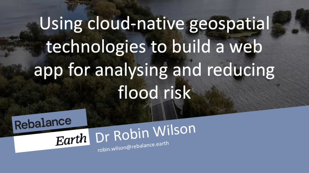
"The FOSS4G UK South West conference 2024 took place in Bristol on 12th November. I gave a talk there entitled Using cloud-native geospatial technologies to build a web app for analysing and reducing flood risk."
"I talk about the technologies behind it and the 'cloud native' manner in which it was designed, specifically generating Mapbox Vector Tiles on-the-fly from a PostGIS database."
"Once you've had a look at my talk, don't forget to check out the other talks that were given at the conference, they were great!"
At the FOSS4G UK South West 2024 conference in Bristol, the author discussed a web application designed for assessing flood risk to various assets in the UK. The talk highlighted Natural Flood Management strategies, particularly river restoration, and the accompanying technology utilized. Key technical components included real-time generation of Mapbox Vector Tiles from a PostGIS database and raster tiles from cloud-stored COG files. The author also encouraged attendees to explore other presentations from the conference, underscoring the event's valuable insights into geospatial technologies.
Read at Rtwilson
Unable to calculate read time
Collection
[
|
...
]