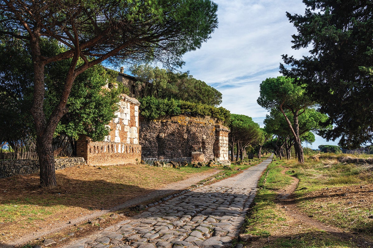
The Via Appia, also called the Appian Way, was constructed beginning in 312 BCE to move Roman troops southeast toward Capua and eventually to the port city of Brindisi. It is the oldest and best-known Roman road, often described as a straight, long highway paved with volcanic stone and lined with cypress trees, connecting directly to Rome. Many remnants, milestones, and historical texts have been used to study Roman roads, but earlier reconstructions produced low-resolution maps with approximate locations. A new high-resolution map of Roman roads provides precise locations in a single open resource. Findings from this mapping change understanding of how the road system supported the Roman superpower.
"Constructed starting in 312 B.C.E. to carry troops southeast toward Capua and, eventually, the port city of Brindisi in the heel of Italy's boot, the Via Appia is the oldest and best-known road of the Roman Empire. Scholars have long regarded it as the quintessential Roman road: a straight highway extending as far as the eye can see, paved with slabs of volcanic stone, lined with pointy cypress trees and, of course, connecting to Rome. It is amazing to know that Romans walked here more than 2,300 years ago."
"But iconic as it is, the Via Appia is not the archetype researchers have assumed it to be. My colleagues and I have produced a new map of Roman roads that, for the first time, reveals their locations at high resolution in a single, open resource. What we found revolutionized our view of the road system that undergirded this superpower of the ancient world."
"Historians and archaeologists have been studying Roman roads for centuries. In that time, they have found remnants of the roads themselves, crumbling milestones, and historical texts about major connections between settlements. But efforts to plot the roads based on these piecemeal sources yielded a low-resolution map of the Empire with approximate locations rather than precise ones."
"Built to transport the Roman army south to expand the Empire's influence, the Via Appia, a portion of which is shown h"
Read at www.scientificamerican.com
Unable to calculate read time
Collection
[
|
...
]