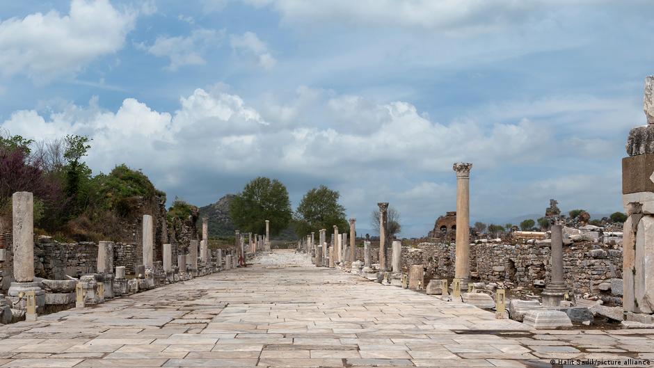
Roman roads connected Britannia to North Africa and facilitated settlement, military movement, trade, and cultural exchange across the empire. The Itiner-e project produced a first high-resolution open dataset digitally mapping 299,000 kilometers of Roman roads across roughly four million square kilometers, nearly doubling previously estimated network length. Researchers used archaeological sites, travel journals, mile markers and centuries-old maps such as the Tabula Peutingeriana and compared historical clues with aerial and satellite imagery. Centuriation grid patterns remain visible in cadastral maps and aerial photos, especially in northern Italy, southern France and Tunisia. The dataset assembles 14,769 segments into one detailed map.
"All roads lead to Rome! Roads were the lifeline of the Roman Empire, stretching from Britannia to North Africa people settled along those roads; armies, travelers, goods, knowledge and power passed along them into the furthest corners of the empire. To this day, the Roman road network continues to shape large parts of Europe, the Middle East and North Africa. Now, an enormous new digital research project is fundamentally changing the way we look at that antique infrastructure."
"The international academic team behind Itiner-e has created the first high-resolution open-data set mapping the entirety of the Roman Empire's road network. In all, they have been able to digitally map 299,000 kilometers (186,000 miles) of roads, crisscrossing about 4 million square kilometers of the former empire almost doubling the length of those roads previously thought to have existed. The Iteiner-e atlas was compiled by collecting information from maps, mile markers and travel diaries"
Read at www.dw.com
Unable to calculate read time
Collection
[
|
...
]