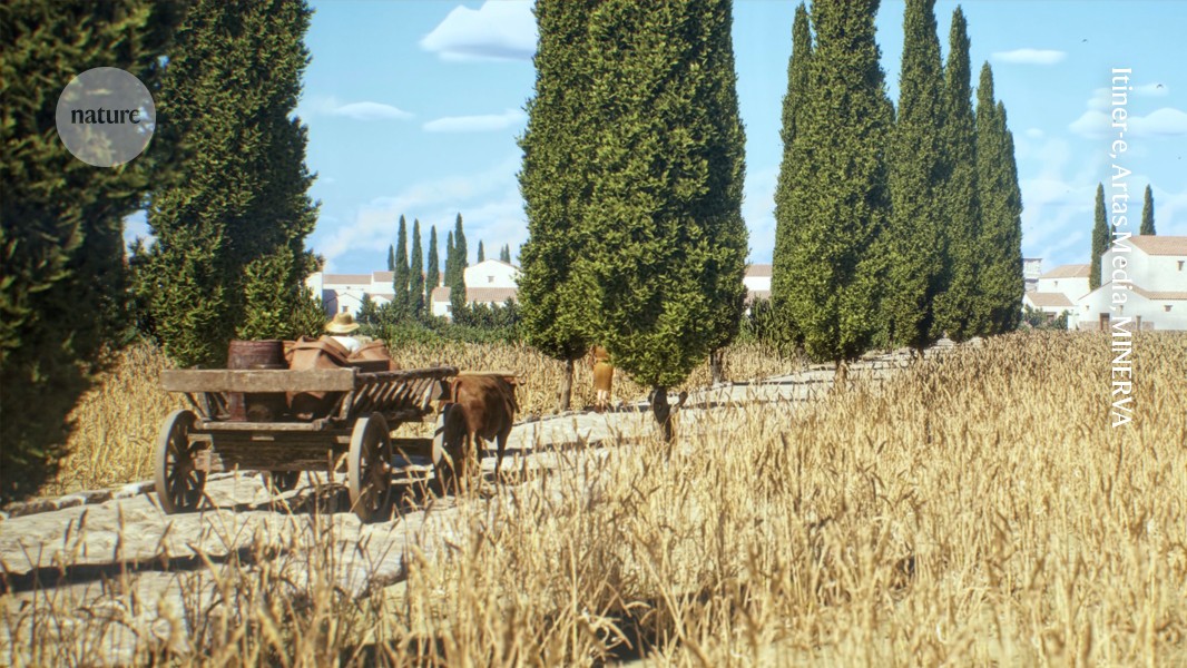
A high-resolution digital map enables route planning along ancient Roman roads by combining historical records with modern mapping techniques. Hundreds of thousands of kilometres of roads were mapped, producing a dataset that nearly doubles the previously known network length. The dataset is paired with an online platform called Itiner-e that provides interactive navigation across reconstructed road sections. Road identification used atlases, surveys, historical sources, milestones, aerial photographs, topographical maps and satellite imagery. Individual road sections were digitized at high spatial resolution and combined into a continuous network representing roads around AD 150.
""Google Maps for Roman roads""
""It's a growing resource for a community to keep on adding information to to ensure that this remains the best representation of our knowledge of where all the roads in the Roman Empire were,""
""Although the roads are one of the best-known aspects of Roman history, it's surprising how many details about them we still don't know,""
""Such insights can be used to better understand the challenges we face today,""
Read at Nature
Unable to calculate read time
Collection
[
|
...
]