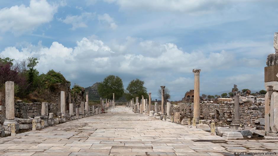
The Itiner-e project created the first high-resolution open dataset mapping the Roman Empire's road network. The dataset digitally maps 299,000 kilometers of roads across about 4 million square kilometers, nearly doubling previous estimates. Trusted historical sources such as maps, mile markers, travel diaries, archaeological sites and the Tabula Peutingeriana were combined with modern aerial and satellite imagery to locate routes. Centuriation patterns—rectangular parcel divisions—help confirm road alignments where roads survive as boundaries or tracks. The final network assembles 14,769 individual segments into a detailed atlas that reveals ancient trade routes, settlement patterns and enduring landscape legacies.
"Roads were the lifeline of the Roman Empire, stretching from Britannia to North Africa people settled along those roads; armies, travelers, goods, knowledge and power passed along them into the furthest corners of the empire. To this day, the Roman road network continues to shape large parts of Europe, the Middle East and North Africa. Now, an enormous new digital research project is fundamentally changing the way we look at that antique infrastructure."
"Researchers scoured archaeological sites, travel journals and centuries-old road maps, such as the Tabula Peutingeriana. The historical clues found in these were then compared with modern aerial and satellite imagery to create the Itiner-e. Traces of the previous division of lands (Centuriation) recognized not by walls or ditches but rather by parcels, since the Romans equally divided new and conquered areas into orderly rectangular plots the checkerboard patterns of which are still recognizable as paths, roads or boundaries today."
Read at www.dw.com
Unable to calculate read time
Collection
[
|
...
]