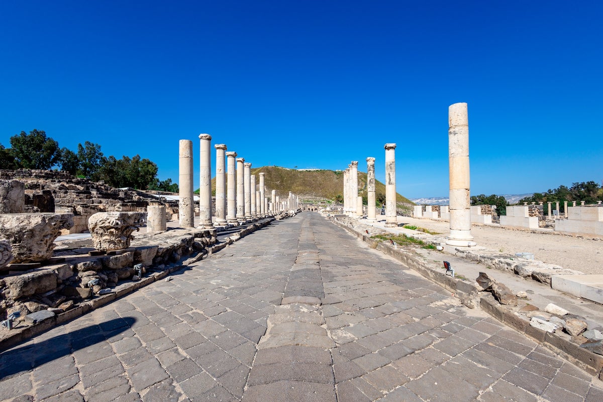
A newly created high-resolution map charts Roman roads from Great Britain to North Africa and adds more than 60,000 miles of previously unrecorded routes. The online database Itiner-e was compiled from earlier databases, satellite photographs and archaeological reports. The map reconstructs the road network as it stood around C.E. 150, including main highways, military roads and local routes that were overlooked in earlier research. The dataset enables new analyses of mobility, trade, and the spread of diseases across the empire. Many Roman roads survive as modern routes, such as the A5 between London and Wroxeter, which follows the route known as Watling Street.
"For the first time, we have a good, Empire-wide overview of almost the complete Roman road network with main and secondary roads, says archaeologist Adam Pazout of the Autonomous University of Barcelona, a co-lead author of a new study describing the research that was published on Thursday in Scientific Data. The new mapan online database dubbed Itiner-ewas compiled from several sources, including earlier databases, satellite photographs and archaeological reports."
"It reveals the true extent of the crucial road network as it was in the year C.E. 150a time of prosperity in the Roman Empireincluding highways between settlements, military roads for Roman soldiers and local routes that were overlooked in earlier research. The map will help scientists better understand issues such as mobility, trade and the spread of diseases, the study's authors say."
Read at www.scientificamerican.com
Unable to calculate read time
Collection
[
|
...
]