"This month, Cambodian Prime Minister Hun Manet wrote to French President Emmanuel Macron, saying that Phnom Penh would also welcome expertise and advisory support from the former colonial power. "The prime minister firmly believes that France's continued engagement will serve the shared objective of achieving a just and lasting solution, allowing the Cambodian and Thai peoples to live side by side in peace, security, good neighborliness and prosperity for generations to come," Cambodia's Foreign Ministry said in a press release."
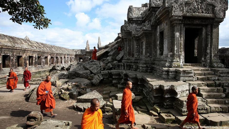
"France had ruled Cambodia as a protectorate from 1863 until independence in 1953. The 817-kilometer (507-mile) between Cambodia and present-day Thailand was first mapped by French officials in 1907, based on the "watershed" principle that separates the basins of the Mekong and the Tonle Sap rivers. With France pulling out of the region, however, the demarcation line became the focus of a bitter and occasionally deadly dispute."
Cambodia requested French assistance including access to historical boundary documents and colonial-era maps and invited advisory expertise to resolve its border dispute with Thailand. Prime Minister Hun Manet wrote to French President Emmanuel Macron seeking France's continued engagement. The foreign ministry said the prime minister believes French involvement can help achieve a just, lasting solution so both Cambodian and Thai peoples can live in peace and prosperity. France mapped the 817-kilometer boundary in 1907 using a watershed principle. The demarcation became contentious after French withdrawal, centering on the Preah Vihear temple and prompting repeated clashes and ICJ rulings.
Read at www.dw.com
Unable to calculate read time
Collection
[
|
...
]