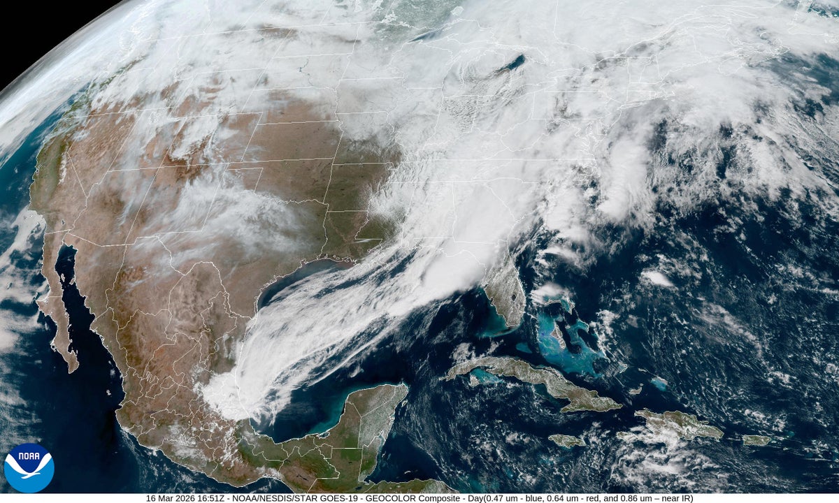
"Early spring is a transitional time of year, weather-wise. Cold air from the north lingers even as warm, moist air pushes up from the south, leading to collisions over the contiguous U.S. that set up prime conditions for unsettled weather and blockbuster snowstorms. March and April are the time of year we get these clashes in air masses."
"A storm, or low-pressure system, developed over the area, with cold air coming down from Canada meeting moist air streaming up from the Gulf of Mexico. That means the storm has a lot of moisture to work with, so snowfall totals are high. The snow is also very wet compared with what typically falls in the region in January or February."
"Because this storm is fairly strong, it is bringing blizzard conditions and snowfall rates of up to three to four inches per hour in some places. Certain spots could see record-setting snowfalls for this time of year."
March represents a transitional period in weather patterns when cold air from Canada collides with warm, moist air from the Gulf of Mexico over the contiguous United States. These air mass collisions create prime conditions for severe and unsettled weather. The upper Midwest experiences heavy, wet snow with rates reaching three to four inches per hour due to abundant moisture from the Gulf. The West faces record-breaking heat while the eastern U.S. encounters hail, strong winds, and tornadoes. A quasi-linear convective system associated with the low-pressure system generates long lines of thunderstorms. This convergence of extreme weather patterns is typical for March and April.
#march-weather-patterns #air-mass-collisions #extreme-weather-events #seasonal-transitional-weather #severe-storms
Read at www.scientificamerican.com
Unable to calculate read time
Collection
[
|
...
]