"Whilst there is some uncertainty as to the exact track and intensity of the area of low pressure as it passes close to western Scotland later on Tuesday, many parts of the UK are likely to see spells of rain which, given saturated ground, could lead to flooding and delays to road and rail travel. In addition, strong winds are expected, particularly in northern and western areas. We are closely monitoring developments and may issue updates to the warnings as the situation evolves."
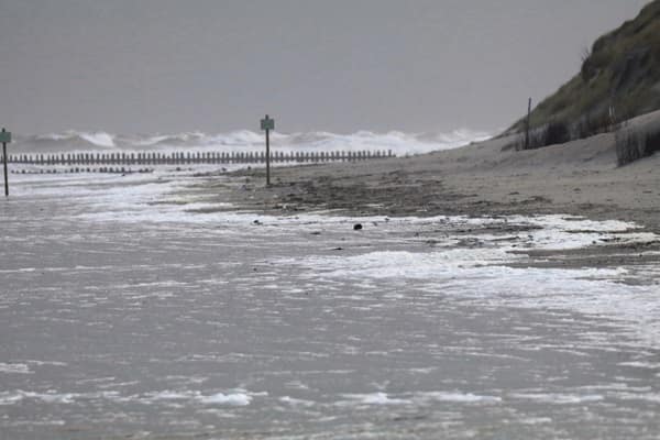
"Yellow warnings for rain and wind have been issued for late Monday into Tuesday across parts of the southern and central England, South Wales, north west England and Scotland as a deep area of low pressure brings disruption. After a showery start on Monday, an area of low pressure approaching from the North Atlantic will bring heavy rain and strong winds from late Monday into Tuesday."
An unsettled spell will continue with wet and windy conditions expected into the coming week. Yellow warnings for rain and wind cover parts of southern and central England, South Wales, northwest England and Scotland for late Monday into Tuesday. A deep low pressure system moving in from the North Atlantic will bring heavy rain and strong winds from late Monday into Tuesday after a showery start. There is uncertainty over the exact track and intensity as the low passes close to western Scotland on Tuesday. Saturated ground increases the risk of flooding and delays to road and rail travel. Stronger winds are likely in northern and western areas. The outlook for much of December remains unsettled with further low pressure systems possible and details for Christmas remain too early to specify.
Read at London Business News | Londonlovesbusiness.com
Unable to calculate read time
Collection
[
|
...
]