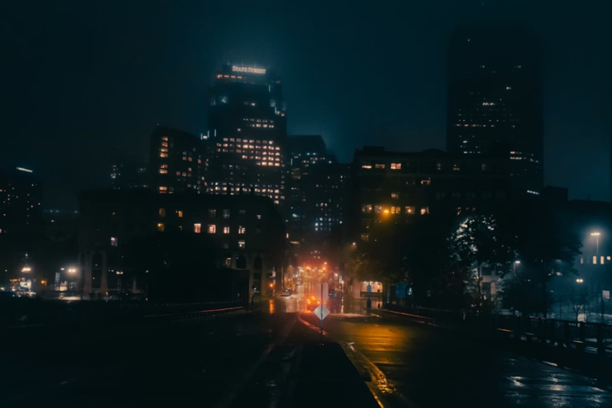
"According to the National Weather Service, the ocean, Long Island Sound and south shore bays are under a Dense Fog Advisory through 10 a.m., with areas of drizzle and visibility-cutting fog likely this morning. The forecast keeps the high near 50°F, with a light southerly breeze around 3 to 7 mph before temperatures fall into the mid-40s."
"Forecasters say a warming trend should kick in Sunday and carry through the middle of next week. Mariners are being told to keep an eye on Small Craft Advisories for parts of the ocean and eastern bays through the weekend, where seas near 5 feet and gusts up to 25 to 30 knots are possible tonight."
"Give yourself extra time for the morning trip, stick to low beams in the fog and ease up on the gas, especially on bridges and ramps where visibility drops fast. Boaters and ferry riders should check schedules and marine notices before heading out and steer clear of small-craft conditions when possible."
New York City woke Saturday morning shrouded in dense fog with low visibility, particularly along coastal areas and near the East River, causing slower surface traffic and cautious bridge driving. A Dense Fog Advisory remains in effect through 10 a.m., with drizzle and visibility-reducing fog expected throughout the morning. Temperatures hover in the upper 30s, reaching a high near 50°F before dropping to the mid-40s by afternoon. Rain showers are likely after 7 p.m. Saturday with light accumulation. A warming trend begins Sunday, with inland highs climbing into the upper 50s to mid-60s through early next week, while coastal areas remain slightly cooler. Mariners face Small Craft Advisories with seas near 5 feet and gusts up to 30 knots possible.
Read at Hoodline
Unable to calculate read time
Collection
[
|
...
]