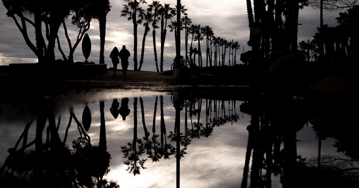
"After weeks of persistent rain, Southern California's drizzle ends Tuesday, ushering in dry conditions and warmer temperatures for the coming weeks. Southern California has experienced record rainfall since October, with downtown Los Angeles already receiving 14.11 inches - nearly 10 inches above normal for the period. Santa Ana winds are expected this weekend, but fire danger remains low because the region's soils are saturated from recent storms."
"Southern California has experienced a historic start to the water year, which began Oct. 1, with storms soaking the region each month and back-to-back systems walloping the mountains and foothills over the Christmas and New Year's holidays. Here are some impressive 14 day rainfall totals across Southwest California! The transverse ranges across Los Angeles, Ventura, and Santa Barbara co. are the winners here. Data courtesy of @VCPublicWorks. Disclaimer: Some points (i.e Morro Bay) may be inaccurate.#CAwx #LARain pic.twitter.com/XBwzA09KFp- NWS Los Angeles (@NWSLosAngeles) January 5, 2026"
Persistent drizzle across Southern California will end by late Tuesday, shifting to a dry, warmer pattern expected to last at least a couple of weeks. A chance of rain may return by the end of the month. Santa Ana winds are forecast by the weekend with uncertain strength. Saturated soils from weeks of storms reduce the typical fire-weather threat but increase the risk of downed trees. The water year since Oct. 1 has been historic, with monthly storms and consecutive holiday systems delivering well-above-normal totals, including 14.11 inches in downtown Los Angeles, nearly 10 inches above normal.
Read at Los Angeles Times
Unable to calculate read time
Collection
[
|
...
]