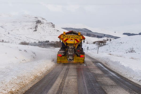
"Arctic air and strong northerly winds will bring cold or very cold conditions to all parts of the UK, and it will feel especially cold in the strong winds. Widespread and locally severe frosts are expected, along with the first snow of the winter for many. A yellow warning for snow and ice has been issued for northern Scotland on New Year's Day and beyond, where frequent and heavy snow showers may lead to some travel disruption."
"These colder conditions and wintry hazards - snow, ice and strong winds - will develop more widely as we enter the New Year, with more warnings for snow and ice likely. It looks like this cold spell will last through at least the first week of January, so it's important people keep up to date with the latest forecast and warnings."
High pressure will maintain chilly but settled conditions for several days, with clear skies tonight leading to widespread frost in northern areas. Tuesday will be mostly dry with patchy cloud and sunny spells, though a few showers may affect eastern coasts and northern Scotland will see thickening cloud, patchy rain and strengthening winds. New Year's Eve will be largely settled across much of the UK, turning windy with showers in Scotland before conditions become colder at the turn of the year. On Thursday showers will increasingly turn to snow in northern Scotland with strong, possibly gale-force northerly winds. A yellow national severe weather warning for snow and ice covers northern Scotland, and the cold spell is expected to persist through at least the first week of January.
Read at London Business News | Londonlovesbusiness.com
Unable to calculate read time
Collection
[
|
...
]