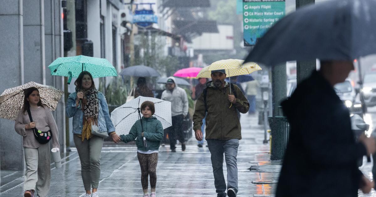
""We've been stuck in this pretty warm and dry pattern but that's all going to change starting Tuesday," said Ryan Kittell, meteorologist with the National Weather Service Oxnard office."
""We live in a unique place where we get the offshore flow and those Santa Ana winds during our wintertime, and that's the main driver for the warm and dry period that we've had over the last couple of weeks," Kittell said."
""It is very typical for us to have these pretty sharp swings," Kittell said. "It's not that typical that we have had such a long, pretty much a full-month period with no rain and pretty warm conditions.""
A warm, unseasonable pattern with offshore flow and Santa Ana winds produced several weeks of warm, dry conditions across Southern California. The warm spell will end after Monday as an approaching storm shifts winds to onshore flow, bringing a cooler marine air mass and chances for showers. Highs Monday will be about 10 degrees above normal, with coastal and mountain highs in the high 60s and downtown Los Angeles near 80. Temperatures will fall into the 60s Tuesday and remain cooler through the rest of the week, with a small Friday warm-up possible, and cooler conditions persisting into next week.
Read at Los Angeles Times
Unable to calculate read time
Collection
[
|
...
]