"La Niña is the cool phase of a pattern that brews across the tropical Pacific Ocean, called the El Niño-Southern Oscillation, or "ENSO." During La Niña events, strong trade winds result in below-average surface temperatures in those waters, while during the other phase - El Niño - weaker winds lead to warmer ocean conditions. The pattern alternates irregularly every two to seven years, bringing a cascade of global weather impacts."
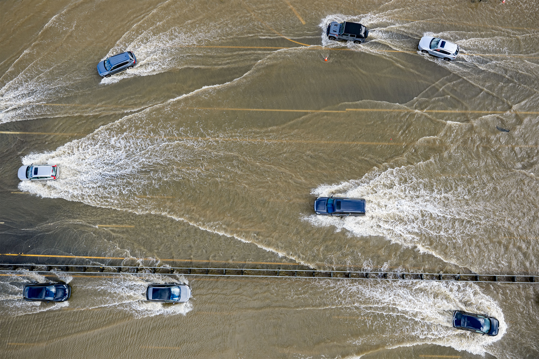
"There is a 75% chance that the current La Niña conditions, which bring a cascade of global weather impacts, will fade out between now and the end of March, the National Weather Service's Climate Prediction Center reported on Thursday. So far, the recent wet weather has come as somewhat of a surprise, since La Niña tends to correlate with dry winters for much of California, especially the south."
"Yet forecasters say the state could still dry out. "Some scientists think that the impacts of La Niña on California really don't get quite underway until January, February, March," Michelle L'Heureux, a climate scientist at the Climate Prediction Center, told SFGATE. "So just because it's been wetter until now doesn't mean that La Niña isn't happening. It just may not have yet shown its influence on California.""
La Niña emerged in the fall and represents the cool phase of the El Niño-Southern Oscillation, driven by strong trade winds and cooler tropical Pacific surface temperatures. The Climate Prediction Center places about a 75% probability that La Niña conditions will fade by the end of March. La Niña generally favors drier winters in Southern California while leaving northern regions with roughly equal chances of wet, normal, or dry outcomes. Winter precipitation to date has been above normal statewide (about 14 inches, or 157% of normal as of Jan. 6). Scientists note La Niña impacts on California often intensify in January through March, so conditions could still change.
Read at SFGATE
Unable to calculate read time
Collection
[
|
...
]