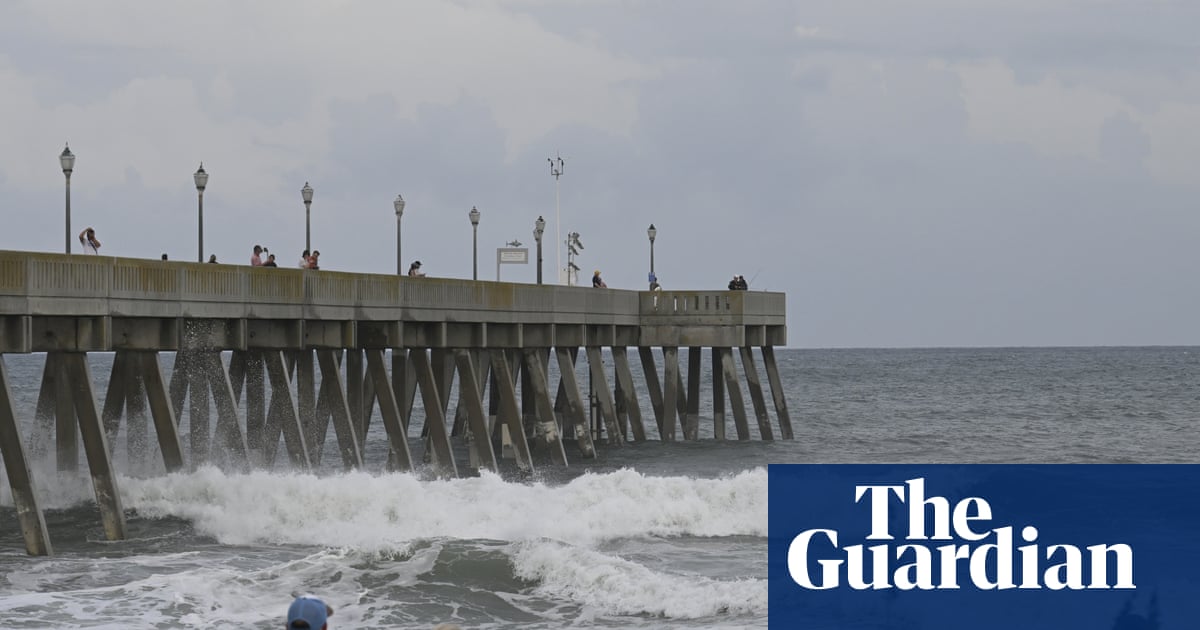
"Hurricane Erin, a large category 2 storm with winds reaching 105mph, is slowly moving away from the North Carolina coast Thursday morning after hitting the state's Outer Banks with intense winds, large waves, storm surge and flooding. While Erin is not expected to make landfall, weather officials warn that the storm's effects are not over yet. Coastal communities up and down the East Coast are bracing as storm conditions continue as life-threatening rip currents, flooding and dangerous surf, are forecast in some areas through Friday."
"On Wednesday, North Carolina Governor Josh Stein declared a state of emergency, deploying emergency resources and personnel to assist coastal communities. Mandatory evacuation orders were issued both for Ocracoke and Hatteras islands, with more than 2,000 people evacuated. By Wednesday evening, Highway 12 on Hatteras Island was closed due to worsening weather conditions. Photos show sections of the highway completely submerged in water. As of Thursday morning, the road remained closed."
"A storm surge warning remains in effect for parts of North Carolina, where water levels could rise two to four feet above ground level in some areas. Numerous roads will likely be impassable under several feet of water and vehicles will likely be submerged the agency said on Thursday morning. Consider moving cars to higher ground. The NWS office in Newport and Morehead City, North Carolina said on Thursday morning that the impacts will peak today with the worst conditions expected"
Hurricane Erin, a large Category 2 storm with 105 mph winds, moved slowly away from North Carolina after striking the Outer Banks with intense winds, large waves, storm surge and flooding. Coastal communities along the East Coast faced life-threatening rip currents, dangerous surf and localized flooding through Friday. North Carolina declared a state of emergency and issued mandatory evacuations for Ocracoke and Hatteras islands, relocating over 2,000 people. Highway 12 on Hatteras Island was submerged and closed. The National Weather Service warned of continued flooding, two-to-four-foot storm surge in places, impassable roads and peak impacts expected Thursday.
Read at www.theguardian.com
Unable to calculate read time
Collection
[
|
...
]