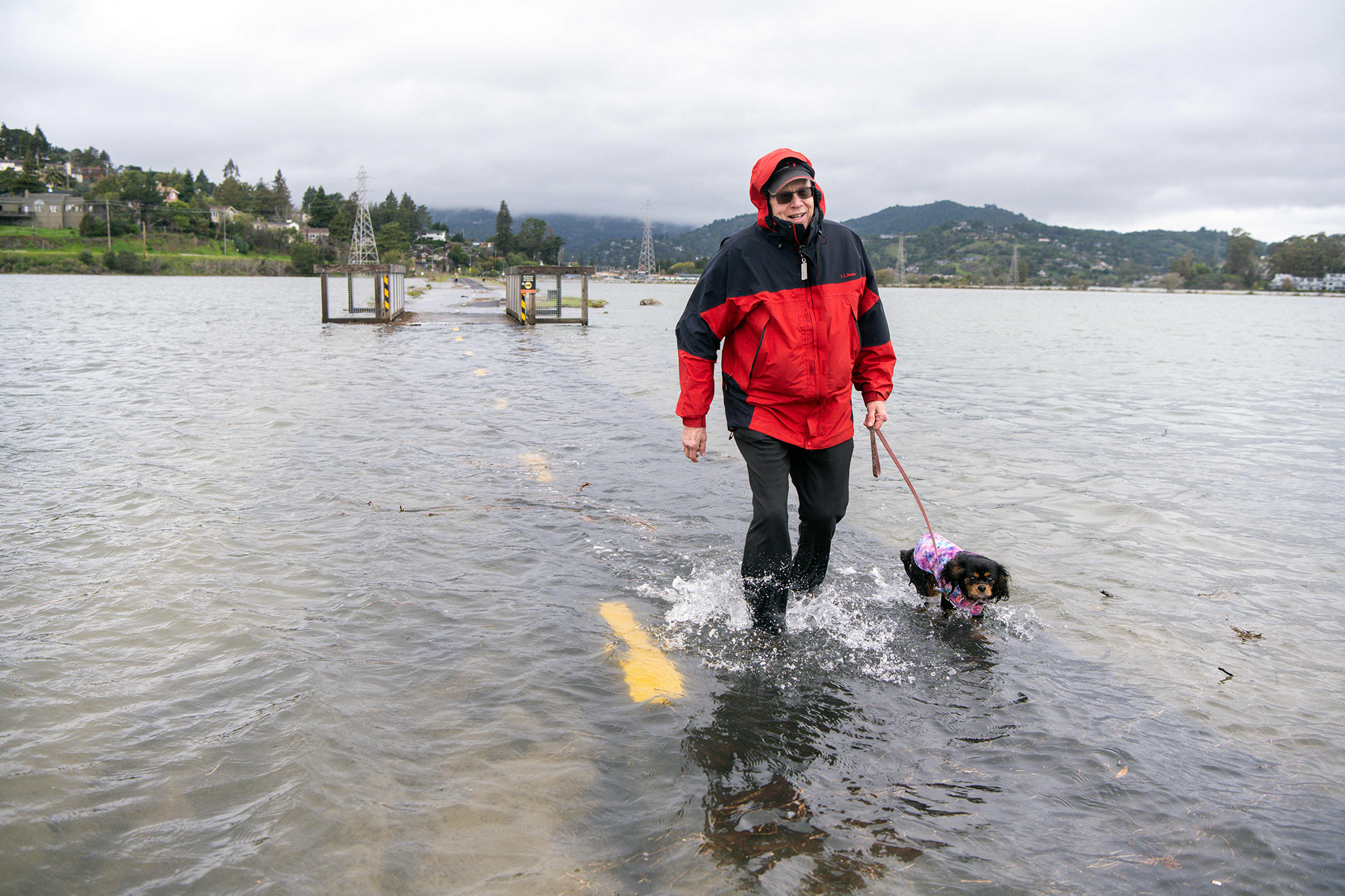
"The arrival of the king tides is expected to overlap with a major storm that's forecast to bring inches of rain to parts of the bay area, starting overnight on Tuesday and lasting through Wednesday. Around 2 inches of rain are expected from the storm in northern Sonoma and Napa counties, with 3 inches possible at higher elevations. In total, San Francisco is forecast to get just under half an inch, while parts of the East Bay, including Livermore, are set to get under a quarter of an inch as the storm moves through the area on Wednesday."
""We're looking at about 1.2 feet of inundation above ground level," Kennedy said. "Essentially, we might have some coastal flooding in the lower-lying areas.""
"Kennedy said the most dangerous hazard of the incoming storm is likely the high winds, with San Francisco potentially seeing gusts up to 50 mph and higher elevations seeing gusts up to 65 mph. "We haven't had wind like this since last winter," Kennedy said. "So now's the time to be prepared and make sure things are secured outdoors to really prevent anything from being blown down or blown away.""
King tides overlapping with a major storm will bring coastal flooding, nuisance inundation, significant rain, and strong winds to the San Francisco Bay Area. A coastal flood advisory runs from 8 a.m. Tuesday through 2 p.m. Saturday, with about 1.2 feet of inundation expected in lower-lying shoreline areas. Rainfall totals include around 2 inches for northern Sonoma and Napa, up to 3 inches at higher elevations, and smaller amounts for San Francisco and parts of the East Bay. Low-lying roads could flood, and gusts up to 50–65 mph create a high-wind hazard; secure outdoor items and avoid flooded roadways.
Read at SFGATE
Unable to calculate read time
Collection
[
|
...
]