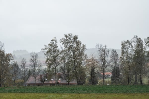
"Low pressure will dominate the UK's weather over the weekend and early next week, bringing periods of rain, locally heavy, and showers. With some areas already experiencing saturated ground, further rainfall could lead to localised impacts, including a risk of surface water flooding. By the middle of the week, we'll see a gradual transition to drier conditions with high pressure building to the northeast of the UK."
"Strengthening easterly winds will make it feel colder, though nothing unusual for the time of year. Where skies are clear at night frost is likely, with mist and fog possible, this more likely in the north and west, where winds may be lightest. Occasional showers are likely over the Christmas period, especially in eastern and southern areas, which may be wintry, more especially over high ground, although there are no strong indications at this stage of any significant snowfall."
A low-pressure system will dominate the UK's weather this weekend and into early next week, bringing periods of rain, locally heavy, and frequent showers. Some areas already have saturated ground, so additional rainfall could cause localised impacts and surface water flooding. By midweek, a gradual transition to drier conditions occurs as high pressure builds to the northeast. Strengthening easterly winds will make conditions feel colder, with frost likely overnight where skies clear and mist and fog possible, especially in the north and west where winds are light. Occasional showers are likely over Christmas, particularly in eastern and southern areas, possibly wintry on higher ground, but no strong signals for significant snowfall.
Read at London Business News | Londonlovesbusiness.com
Unable to calculate read time
Collection
[
|
...
]