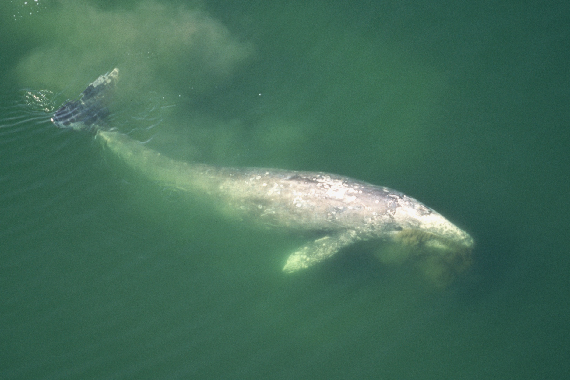
"On the digital platform, whale lovers can visualize the underwater migrations of eight whale species worldwide - and scientists and policymakers can look for new ways to protect those key routes from mounting dangers like ship strikes, fishing and climate change. Article continues below this ad In California's waters, the plight of whales was particularly dire this year, with a spike in deaths around the San Francisco Bay. Gray whales on the West Coast fell to about 13,000, the lowest number since the 1970s."
"Gray whales on the West Coast fell to about 13,000, the lowest number since the 1970s. "I hope this new platform can demystify the scientific data we collected, making it accessible for people who are interested in whales and biology," said Ari Friedlaender, a UC Santa Cruz ecologist who tagged many of the featured whales. "It's great if it also brings people closer to the animals, helping foster empathy and responsibility.""
BlueCorridors.org assembles over 30 years of satellite-tag data from roughly 1,400 whales across eight species to map global migratory pathways known as Blue Corridors or "superhighways." The platform visualizes underwater movements and allows overlays of human threats such as ship traffic and fishing. The World Wildlife Fund and more than 50 research groups digitized the tracking contributions to create an education and ocean-management resource. The map highlights areas where whales and human activities overlap and flags regions where whale movement data remain sparse, supporting conservation, policy decisions, and public engagement.
Read at SFGATE
Unable to calculate read time
Collection
[
|
...
]