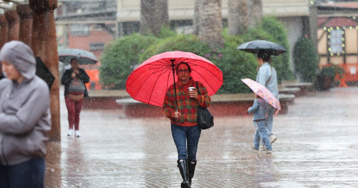
"(Allen J. Schaben / Los Angeles Times) An abrupt change in the forecast means Los Angeles County now faces a chance of thunderstorms, strong winds that could topple treesand heavy rain that could bring flash flooding and mudslides in recently burned areas. There will likely be thunderstorms this afternoon and evening as the storm pushes through Los Angeles County. There's growing confidence of higher rains from 3 to 7 p.m. Monday, the National Weather Service says."
"The weather service issued a flood advisory - meaning flooding caused by excessive rainfall is expected - for the rest of Monday afternoon. The advisory was in effect for a wide swath of northern and western L.A. County, including Malibu; the San Fernando, San Gabriel and Santa Clarita valleys; all of Ventura County; eastern Santa Barbara County including the city of Santa Barbara; and southeastern San Luis Obispo County."
""Convective storms will bring increased risk of strong to locally damaging winds, lightning, small hail, and isolated waterspouts," the weather service office in Oxnard said just before 2 p.m. "Briefly heavy downpours could cause localized flash flooding and debris flows in recent burn scars." There's a 40% to 50% chance that rain could fall so fast it could trigger debris flow in the Palisades, Eaton and Bridge burn scars."
An abrupt forecast change raises chances of thunderstorms across Los Angeles County this afternoon and evening, with higher rainfall expected between 3 and 7 p.m. A flood advisory covers northern and western L.A. County, Ventura County, eastern Santa Barbara County and southeastern San Luis Obispo County. Convective storms could produce strong to locally damaging winds, lightning, small hail, isolated waterspouts, and briefly heavy downpours. Intense rainfall could cause localized flash flooding, debris flows and mudslides, especially in recent burn scars such as the Palisades, Eaton and Bridge areas, with a 40–50% chance of debris flows. Roads, small streams and slopes face flooding and rockslide risks, and a brief weak tornado remains possible over the L.A. Basin.
Read at Los Angeles Times
Unable to calculate read time
Collection
[
|
...
]