#television-meteorologists
#television-meteorologists
[ follow ]
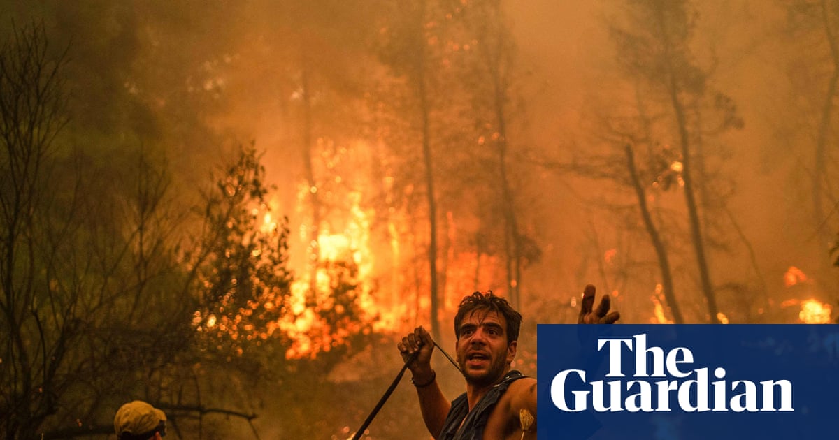
#climate-change #el-nino #severe-weather #extreme-weather #weather-forecasting #weather #wildfires #meteorology


fromABC7 San Francisco
3 weeks agoBay Area weather radar network aims to improve storm forecasting, flood prep and drought planning
"This is going to help fill that gap in minutes to hours lead time that's vital to know where the heaviest rain is going to hit," Ralph said. "And when and what communities are going to be affected so people in the preparedness community and water resource management community can take action to help protect people's lives and property."
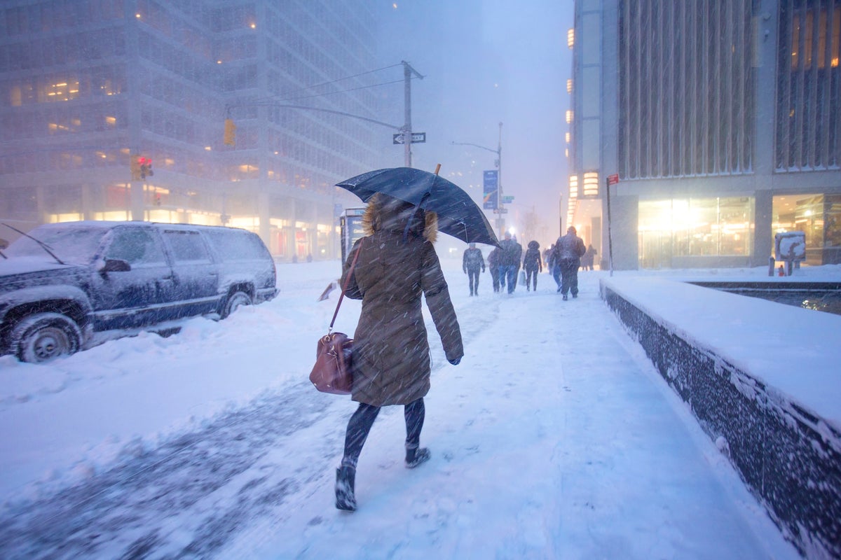
San Francisco
fromMail Online
1 month agoHazardous weather alert for 200 million as megastorm barrels across US
The storm from Sunday into Monday has the potential to become a bomb cyclone, which occurs when central pressure drops at least 0.71 inches of mercury (24 millibars) in 24 hours or less. That rapid strengthening would generate an expansive and intense wind field.
Chicago


fromwww.npr.org
1 month agoSnow and wind batter parts of US, with threat of thunderstorms and tornadoes
Successive punches of snow, wind and severe weather are "going to impact the eastern half of the United States," AccuWeather senior meteorologist Tyler Roys said in an interview. Beyond the threat to lives and property, "whether it's wind gusts from a squall line, blizzard or snow, or just wind because of the storm, you're looking at several major airports being impacted."
US news
fromTechCrunch
1 month agoGoogle is using old news reports and AI to predict flash floods | TechCrunch
While humans have assembled a lot of weather data, flash floods are too short-lived and localized to be measured comprehensively, the way the temperature or even river flows are monitored over time. That data gap means that deep learning models, which are increasingly capable of forecasting the weather, aren't able to predict flash floods.
Science
US news
fromFortune
1 month agoThe weather sampler platter will wallop the U.S. this week: extreme heat in the south, downpours and snow in the east-with a side of the polar vortex | Fortune
Nearly all U.S. regions face extreme weather including record heat in the Southwest, snow in the Great Lakes, Arctic cold in the Midwest and East, and heavy rain in Hawaii within the coming days.
fromSilicon Canals
2 months agoThe one thing meteorologists wish people would stop doing before a winter storm hits - Silicon Canals
When I spoke with emergency management officials last year, they all mentioned the same frustrating scenario. People ignore storm warnings until the precipitation starts falling, then suddenly everyone rushes out at once. The roads become congested with anxious drivers, accidents spike, and stores run out of essentials just when people need them most. But here's what really gets meteorologists worked up about this pattern. Modern weather forecasting has become incredibly accurate, especially for major winter storms.
Public health
Artificial intelligence
fromTechCrunch
2 months agoNvidia's new AI weather models probably saw this storm coming weeks ago | TechCrunch
Nvidia released Earth-2 AI weather models claiming faster, more accurate forecasts; Earth-2 Medium Range reportedly outperforms Google DeepMind's GenCast on over 70 variables.

fromwww.npr.org
2 months ago'Please inform your friends': The quest to make weather warnings universal
In November 2025, a massive storm rolled across the lower Mekong River delta, dumping multiple inches of rain onto the wide, flat river plain that covers much of Cambodia. The river rose and rose. The force of the water churned up mud from the river bottom. The muddy water flowed downstream and rushed into the many farming and fishing towns that line the Mekong's banks.
US news


California
fromLos Angeles Times
2 months agoFirst wave of nearly a week of rain hits Southern California. Snow expected for Mammoth, Tahoe
Southern California experienced heavy rains with flood watches, wind advisories, burn-scar evacuation warnings, and forecasts of significant rainfall and mountain snow this week.
fromABC7 San Francisco
7 years agoThe ABC7 Exclusive Storm Impact Scale explained
LIVE RADAR: Track storms as they move through the Bay Area with Live Doppler 7 Take a look at the chart above -- we will give each storm a number with 1 being the lightest type of storm and 5 being the most severe. This way you'll know what to expect. Number 1 means a light storm with 1/2 an inch of rain or less and likely lasting a few hours or less. Number 2 is a moderate storm with 1/2 an inch to one inch of rain forecast and could include scattered power outages.
Environment
fromLos Angeles Times
2 months agoHalfway through winter, heat is melting the California snowpack
An extraordinarily warm and mostly sunny January has left the snowpack across California's Sierra Nevada far smaller than usual - 59% of average for this time of year, state water officials announced Friday as they held the season's second snow survey. "We are now about halfway through the typically wettest part of the year," said Andy Reising, manager of snow surveys for the California Department of Water Resources.
Environment
fromLos Angeles Times
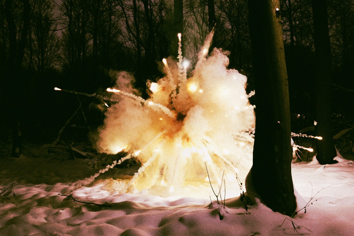
2 months agoAs teeth chatter across the U.S., Southern California is a hot spot: What to expect this week
While cold-stunned iguanas fall from trees in Florida and videos circulate of frozen "exploding" trees in the Northeast, Southern California is working up a sweat. A midwinter heat wave has descended on much of the state and is expected to spike temperatures as much as 20 degrees above normal in the coming week. The summer-like heat is thanks to a ridge of high pressure lingering high in the atmosphere that extends through the San Francisco Bay Area and into the Pacific Northwest.
Environment
[ Load more ]