"On Saturday morning, the snow and ice will be stretching from Texas to Arkansas to Tennessee. By Saturday afternoon, snow will be falling from St. Louis, to Indianapolis, to Cincinnati, to Charleston, West Virginia. By Saturday evening, the snow and ice will cover a massive part of the country, stretching from New Mexico to the Carolinas. Further south, a wintry mix or freezing rain will be hitting Dallas, Shreveport, Louisiana, Memphis, Tennessee, and Raleigh, North Carolina."
"The storm will move east early Sunday, bringing snow from Wichita, Kansas, to Cincinnati, to Washington, D.C., to Philadelphia. Freezing rain will be likely by sunrise in Houston, Memphis, Atlanta and Raleigh. By noon, the snow will reach New York City, while the snow in D.C. will warm to a wintry mix. It's not yet clear which parts of the Interstate 95 corridor will get a wintry mix and which will get all snow on Sunday afternoon."
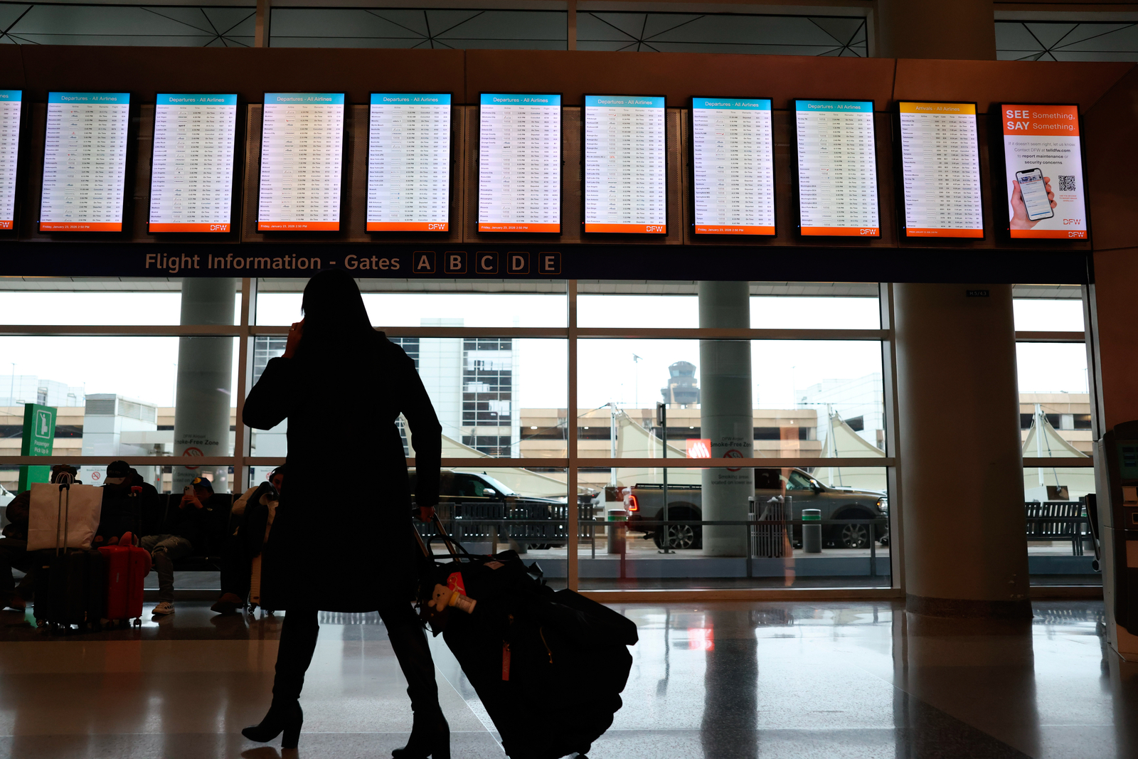
"More than 2,300 flights within, into or out of the U.S. scheduled for Saturday have now been canceled ahead of the storm, with Dallas' two airports hit the hardest."
A large winter storm will produce snow, ice and freezing rain beginning Friday afternoon across New Mexico and the Texas panhandle and expanding through the South on Saturday. Dangerous icing and heavy snow will peak Saturday, affecting Dallas, Oklahoma City and a broad swath from Texas to Tennessee and Arkansas. By Saturday evening the storm will stretch from New Mexico to the Carolinas, with wintry mixes in southern cities including Dallas, Shreveport, Memphis and Raleigh. The system will move east early Sunday bringing snow and freezing rain to much of the Midwest and Northeast, including risks of plowable snow and over a foot in parts of the Northeast. Travel disruptions include more than 2,300 flight cancellations, with Dallas airports hit hardest.
Read at ABC7 San Francisco
Unable to calculate read time
Collection
[
|
...
]