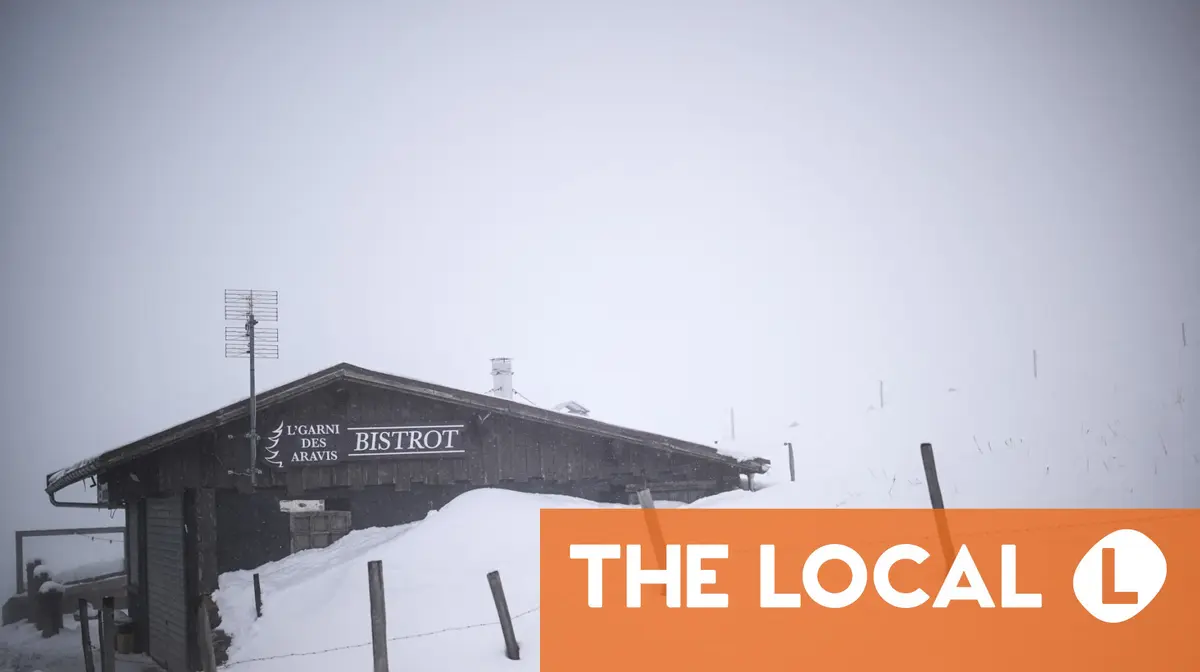
"France is currently in the grip of a cold snap which blanketed large parts of the country in snow on Thursday. The 'manteau blanc' (white coat) was caused by a polar vortex which has become stuck over the country leading to unusually cold temperatures and ice and snow in lowland areas. According to Météo France, this will continue into the weekend, with Saturday predicted to be the coldest day."
"Two-thirds of the country - 60 départements - were on yellow or orange level warnings for ice and snow on Friday, with warnings extended into Saturday. On Saturday almost the entire country is on yellow alert for either extreme cold, snow, ice or all three. Drivers are warned to take extra care on the roads, especially in the morning and evening when the risk of black ice is highest."
France is experiencing a prolonged cold snap driven by a polar vortex, bringing snow and ice to lowland areas and widespread freezing temperatures. The situation is expected to continue into the weekend, with Saturday predicted as the coldest day. Sixty départements were on yellow or orange warnings for ice and snow, and on Saturday almost the entire country faces yellow alerts for extreme cold, snow, ice, or combinations. Drivers must take extra care on roads, especially mornings and evenings when black ice risk is highest. Average daytime temperature on Friday is about 2.7C, with lows down to -6C in Nancy. Temperatures will start rising gradually from Sunday.
Read at The Local France
Unable to calculate read time
Collection
[
|
...
]